Sunday, June 15, 2008

06/15/08 Elevated (MCS) = Best Structure of the Year

Elevated (MCS) rolls in just after dawn

After waking up in the middle of the night for no particular reason I glanced at my radar in my office and noticed an elevated (MCS) in north-central Iowa tracking east-southeast. At this time it was 4am and I was contemplating going back to sleep, but I felt that this Mesoscale Convective System would hold together and roll into my hometown in the next 2 hours and I would kick myself if I missed this opportunity.

Unbelievable structure to my northwest
Portrait-view of this picturesque MCS

A long story short, I was delighted with my best structure of the year to photograph. This thing was beautiful and the lack of lightning was good as well. It would have been awesome to get some CG's from this thing, but at the same time it was far more safer.

One last photo as it's about a mile to my northwest

After the cool outflow was felt and the brisk wind heard in this west-central Illinois corn field I took shelter indoors for the rest of the morning, but very happy I decided to wake up so early on this day...

Friday, June 13, 2008

06/12/08 Illinois Classic Discrete Supercells

Wall cloud forming off a classic supercell in west-central Illinois

After a frustrating chase in western Iowa the previous day a SLGT risk was issued by the SPC for my area in west-central Illinois and eastern Iowa. After lots of heating and a differential heating boundary that was set up from a Burlington, IA to Galesburg, IL line we knew today was better in the back of our minds then a SLGT risk. SPC agreed to a point with a 10% probability of tornadoes. After looking over models and data we decided today was a chase day.

Structure shot of a severe thunderstorm in Davenport, IA

I decided to take I-80 east to meet up with Chris Czapla at LaSalle/Peru in central Illinois for a backyard chase. After sitting there for an hour and a half evaluating and seeing convection fire to our north and a cumulus field overhead we knew we had instability just no lift as the strong cold front was still back just east of Des Moines, IA. However, 2 classic "flying V" supercells formed out ahead of the cold front in northeast Missouri and had confirmed tornadoes. These storms looked incredible and we couldn't pass them up. So we got back on I-80 west and then preceded to get off on I-74 south near Galesburg, IL. We knew if they held together we could get them before dark. On the way I was loving what I was seeing; classic supercells with well defined hook echos. It was something that's been hard to get this year with the HP monsters I've been chasing. Myself and Chris got greedy we wanted both supercells and believed we could get both of them. Could we? We got off I-74 and started heading west on Highway 17 toward Aledo, IL to intercept the first supercell. We got outside Aledo a few miles from Joy, IL and set up to watch the first supercell track to our northwest. We were in great position. So we started to head south on Highway 94 to avoid the rain and potential hail and get into better position on the "tail-end charlie" After snapping some photos we noticed that a storm that developed in southeast Iowa near Burlington, IA that my friend Brandon Sullivan was chasing was gonna munch up this first supercell unfortunately. So we decided to head south of Aledo. While doing this we were greeted with an awesome lightning show and shelf cloud that went through Aledo, IL. We watched rotation as well in a notch along the shelf where the supercell was getting munched from the southern storm. In our minds was no doubt "Is it gonna happen again"? As the same situation produced a tornado in central Illinois that we chased in late-May. It nearly produced for us in a field about 3 miles to our northeast. After giving up on this storm and avoiding the rain we still noticed we had a classic supercell to our southwest that looked to pass just to the north of Aledo, IL so we ended up driving north on Highway 94.

New mesocyclone with wall cloud forms

We also watched as one low-level mesocyclone weakened and new one formed as well which was also a spectacle. We were surprised it didn't drop a tornado for us, but that is usually the case when you have beautiful classic supercell structures they don't tend to TOR. The ones that do look messy or ragged like an earlier chase in central Illinois this year. We tried to keep up but our road network went to **** in a hurry with gravel roads and we were running out of daylight. So we pulled the plug on the chase. Nevertheless, the best supercell structure of the year for myself and in Illinois of all places. Illinois has yet to bust me this year unlike Nebraska and Iowa as of late which is saying something. Looks like this unusual spring-type pattern in June will change here in the next few days which should help the record flooding problems in the Midwest and the devastation in some areas from the tornadoes over the past few weeks.

06/11/08 "Core-punching" & Frustration in Western Iowa

Convective initiation northwest of Denison, IA

After a night of reviewing some data it appeared a pretty awesome chase setup in western Iowa and eastern Nebraska would happen today. There was also a potential for a few strong tornadoes so we decided to head west on I-80 for yet another chase day. I met up with Victor Gensini and Dustin Oltman in Geneseo, IL where we got back on I-80 to get to our target of Omaha, NE. After realizing Vic's taurus needed a new tire and that was an understatement. We decided to get that fixed in Des Moines, IA which put us back about an hour, but still in decent shape to make it to our target area when convective initiation would take place around 5pm. Early-on it "appeared" that we would get some discrete classic supercells based on radar trends as morning convection cleared out at noon. However, quickly the storms fired and were severe, but "messy". We deviated from our original target of Omaha, NE due to the fact it would be hard to chase in Omaha a metro-area so we decided that Denison, IA looked like a better option.

Targeting a "mushroom supercell" near I-29

The best supercell we saw on radar was northwest of Denison, IA and the most discrete at the time so we hopped on I-29 heading north to intercept, but as we got there it didn't look as good as it did in Monona County where we stopped to observe.

Wall cloud forming off I-20

We sat for a little bit and watched it and sure enough it started to form a wall cloud. We then got back east to try to keep up with it. The TIV (TornadoInterceptVehicle) drove by us while we were heading north.The wall cloud looked like it was weakening, but behind us wrapped in rain of course a common theme this year it seems a new wall cloud formed which explained the reason the TIV headed in that direction. We decided to give up on this storm which did end up to bite us as it produced a confirmed tornado to our northeast. We headed back on I-29 south to intercept a new tornado-warned storm that was crossing the interstate, but this required "core-punching" to get to it. After driving through some blinding rain we punched through only to find a mesocyclone to our west about a mile away. Yikes right? We had to get away from that thing meanwhile it begins to move right over us on I-29 as we tried too. All 3 of us knew we had to get away from this and fast. We passed the TIV and many storm chasers including the DOW (Doppler-On-Wheels) truck. This meant we were WAY TOO CLOSE for comfort. I have to say it was extremely DANGEROUS and I don't recommend it, but at the same time it was most majestic and awespiring sight I've ever seen as the mesocyclone was backlit with the sun. The rotation was unbelievable!!!! Unfortunately we were too close for to this thing and had to get out of there, but I was able to get 3 pictures of it out the window.

I've included 3 pictures that I took to give you an idea of the incredible rotation
Mesocyclone becomes visible after "core-punching"

After we got out of harms way we had to navigate around many tree-limbs that were thrown onto the interstate. Some trees were also damaged along the interstate as well. Tornado or RFD straight-line winds? Who knows on that one. Nevertheless, that storm meant business and later on that night we would hear that soon after that same storm dropped a tornado on Little Sioux, IA causing 4 deaths and several injuries -->SPC REPORTS -->Damage Survey.
Too close was an understatement for us-->(NY Times). I wasn't that surprised after observing that wicked rotation it had when we punched through. Nevertheless, we did get through it. However we lost Internet several times during the day. This was tough as in some cases we had to call off the chase because we had no radar. What didn't make sense was we all had different data cards and 3 computers with different cellphone providers and none of us could get Internet access several times. This was really FRUSTRATING!!! Also Omaha's radar (KOAX) going down didn't help either as we had to switch over to Des Moines' radar (KDMX) the rest of the night.

Shelf cloud off I-80 in western Iowa

After all 3 of us were frustrated with all the storms "lining up" with embedded supercells we decided just to get on I-80 east and stop every once and awhile to get some pictures off the interstate of a shelf cloud with embedded supercells in it. It was just hard to chase with a lack of Internet most of the day and being how it was incredibly dangerous. Also we were beginning to lose daylight so we decided it was time to continue heading east to keep the storms behind us. On the long drive home though we were hearing of the carnage and destruction in Manhattan and Chapman, KS from a later ranked E-F4 tornado that caused widespread damage that night in those towns. I got home around 2:30AM and realized I better get to sleep early after a quick glance at tomorrows outlook with a backyard chase in Illinois in the offering.

Friday, June 6, 2008

06/04/08 HP Supercells in Nebraska

Large shelf cloud with occasionally mesocyclones hidden

After chasing the previous day in Illinois with a MDT RISK we checked out of our hotel early in the morning east of Des Moines, IA and headed our way to target central Nebraska with another MDT RISK of severe weather. Our initial target was York, NE as strong daytime heating occurred all day setting the stage for an active afternoon and evening across the state. Early-on a warm front was the target as it would provide the focus for severe convection and tornadoes in the evening. After driving across a moisture-rich state of Iowa with some dense fog we punched through the fog near Omaha, NE where we found quick breaks in the clouds and destabilization.

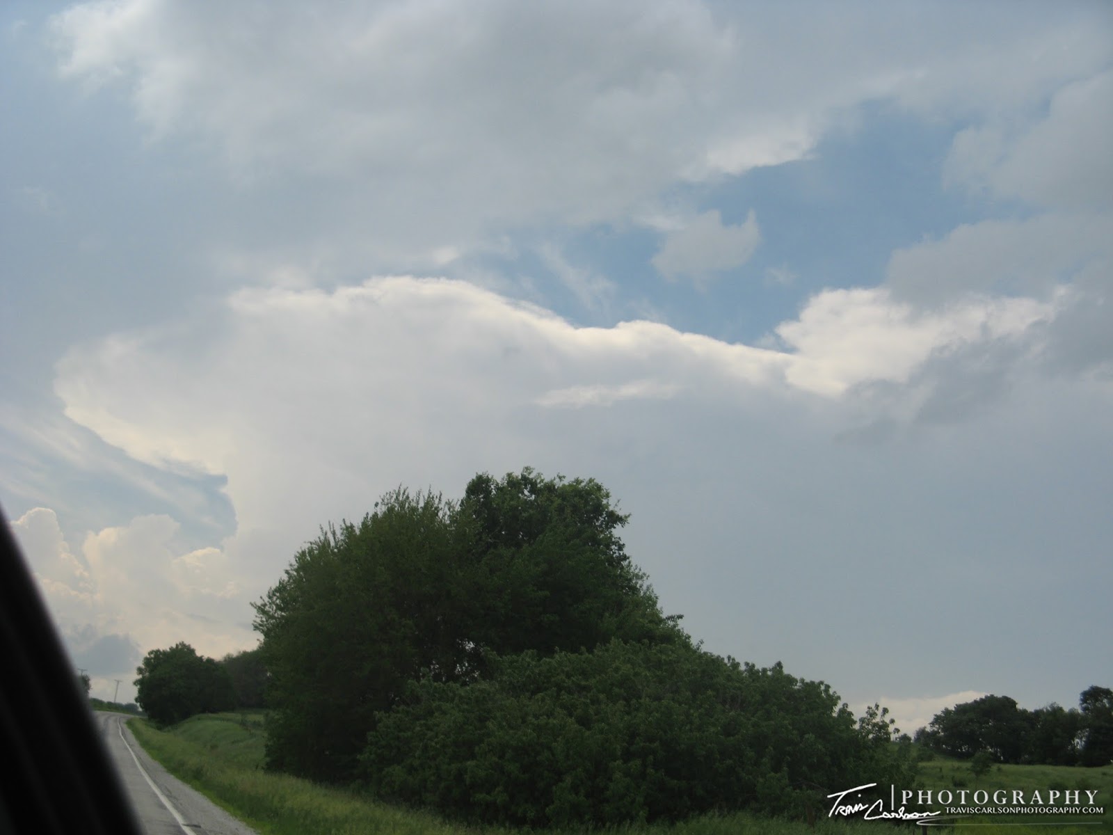
The great state of Kansas (I'll be here more next spring)...

After sitting most of the day we decided to venture to the KS/NE border since I've never been in the state of Kansas We thought the cap was too strong to target that area for the evening.

The first HP supercell of the evening near Grand Island, NE

We began heading back north on Highway 81 and preceded west on I-80 toward Grand Island, NE to track the first storm of the day that went severe-warned/tornado warned to our west around 5pm and I found myself on one of many of Nebraska's dirt roads. Yuk, at least it wasn't wet I guess but after taking so long to get off of it the storm I was tracking weakened. However, a new cell formed and quickly exhibited rotation and became a HP supercell. Unfortunately, for us this put us out of position on the Aurora, NE tornadic HP supercell that caused damage in that town back to the east that Victor Gensini was chasing. Nevertheless we tracked several HP supercells along the I-80 corridor from Grand Island, NE to Lincoln, NE using Highway 34 and I-80 to get into position.

One of the lowering(s) off an HP supercell
This nice looking mesocyclone was just to the east of Grand Island, NE where the sheriff deferred my attention from it for a few minutes...ugh!

A nice boundary/warm front was nearly running parallel to the interstate allowing a focus for convective initiation. These storms were a mess however. All of them were HP supercells and mostly rain wrapped making it hard to photograph and observe tornadoes. They were easy to keep up with, but you had to be really cautious as they were attempting "hand offs" most of the day as one mesocyclone would reform back to your southwest once when the area of rotation you were watching weakened. I was on the HP storm that was just east of Grand Island, NE that dropped a confirmed tornado back to my west. As I was photographing off Highway 34 a Nebraska sheriff pulls up behind me. His first words were "what are you doing?". His tone said it all. I didn't think it was illegal to photograph severe storms right? I told him there was a tornado heading this way and that I was a storm spotter/storm chaser. At first he didn't believe me, but whatever I was thinking in my head. He was an old man that didn't know anything about the weather and was acting like an *** if you get my drift and that's being kind. His county was under a Tornado warning yet it appeared he didn't know this. I told him the direction the tornado was moving and which way not to go and he preceded heading in that direction anyway. This was the only time I've ever had a problem with law enforcement while in the middle of a chase. It provided a nice story however later that night. Anyway after that I took several more photos and continued east on Highway 39 catching new mesocyclones forming off old mesocyclones. Some of the supercells I was on had confirmed tornadoes and at times I thought I had one, but it was incredibly difficult to see them with bad lighting and being wrapped in rain as well.

One last photo off  before we got "munched"

Later on however we made it to Lincoln, NE getting munched by the storms and took cover there. We called it quits and booked a hotel room for the night for tomorrow's significant severe weather outbreak anticipated in tornado alley. However, before hitting the sack for the night we were mesmerized by a brilliant lightning display outside Lincoln, NE with what I like to call "backwards lightning". That's the best way I could describe it as the storms back-builded along the warm front. There were several times you could see the updraft of the storm and lightning shoot northwest as the storms were drifting southeast or sitting stationary. It was strange and the first time I've witnessed this strange lightning display. Also in our hotel parking lot there was some small tree limbs snapped from the 30-40mph wind that blew in at dusk. So after marveling at the lightning display it was time for a good nights sleep and another chase tomorrow.

06/03/08 Illinois Risk vs. Reward = Reward

Convective initiation near Pittsfield, IL
 
After seeing a tornado in central Illinois last Friday another great opportunity presented itself in central Illinois again with a MDT RISK for severe weather and tornadoes. Our target was Springfield, IL as conditions seemed very favorable in that area for a severe weather outbreak with supercells and tornadoes.

Closer view looking to my northwest.

The synoptic pattern has been cooperating as of late for all of us storm chasers as almost everyday a piece of energy gets ejected out from the western trough that focuses the severe weather off to the east in the Great Plains and/or Midwest.

Structure shot off I-72 looking northwest
 
Anyway back to our chase, we arrived outside Springfield, IL around 3pm, but it seemed that area was limited with destabilization as convective debris from the overnight convection was limiting instability so we headed west on I-72 toward Jacksonville, IL and arrived outside Pittsfield, IL to tap greater instability where a Tornado Watch was later issued for our area. Convective initiation began to our west around 5pm and we were in a great spot to catch some supercells.

Supercell on the horizon near Jacksonville, IL with a confirmed tornado

We caught one supercell that split off a tornadic storm near Jacksonville, IL that produced a tornado. We did miss that tornado however we were delighted to catch a beautiful wall cloud and mesocyclone north of Pittsfield, IL off I-72. These storms were not moving terribly fast which meant a great opportunity to sit back for a few and take it all in. I was also amazed with the fast upward vertical motion on the supercell we targeted.

Mesocyclone forming off the storm I was photographing crossing I-72

While photographing a wall cloud and mesocyclone off I-72 this bunny started hopping around in some tall grass prairie and posed for a quick photo.

Wall cloud at sunset near Valley City, IL
Darkness about to fall as supercell runs out of steam

Quickly we were losing daylight and called it quits early knowing that tomorrow's prospects looked really good in central Nebraska. We started making our way back north crossing the Illinois River at Beardstown, IL and got on I-80 heading west-bound. We were definitely rewarded with a great day for photography in Illinois instead of using this day as a "travel day" for a 2 day show in Nebraska. We managed to check into a hotel on the east-side of Des Moines, IA for the night so we could hit the road early tomorrow to the plains.