Tornado with a right-moving supercell near Wavery & Auburn, IL
After chasing the HIGH RISK the previous day it was day for a backyard MDT RISK chase in IL. After contacting several graduate students from NIU and some other chasers that were also heading out we agreed to team up for the day. We started the day with a target of Bloomington, IL. We arrived in Bloomington escaping some of the morning convection, but not all. Our team of chasers from NIU all met up at the Panera Bread in Bloomington, IL. Myself, Alan Black, Dustin Oltman, Chris Czapla, Jim Anderson, Rick Miller, and Michelle were the group for the day. The concern early-on was that shear was not the greatest where the best instability was found, but something told me we would have to head farther south later on. After collecting some data and re-evaluating we decided to get on a storm that formed to the west of Bloomington, IL that was becoming surface-based. At this time our instability was limited due to the morning convective debris, but along the I-72 corridor there was a sharp differential heating boundary that set-up.

This was the first storm we intercepted that dropped a quick funnel (a sign of things to come later in the day)
We chased the first storm of the day on I-55 seeing intense lightning and a quick funnel before it became more out-flow dominate and we got munched on I-55 by blinding rain. After getting soaked we turned our attention to more supercells to the west and preceded south on I-55 near Lincoln to intercept supercell #2 of the day.
Supercell #2 that had a small funnel we all witnessed, but we had to give up on it
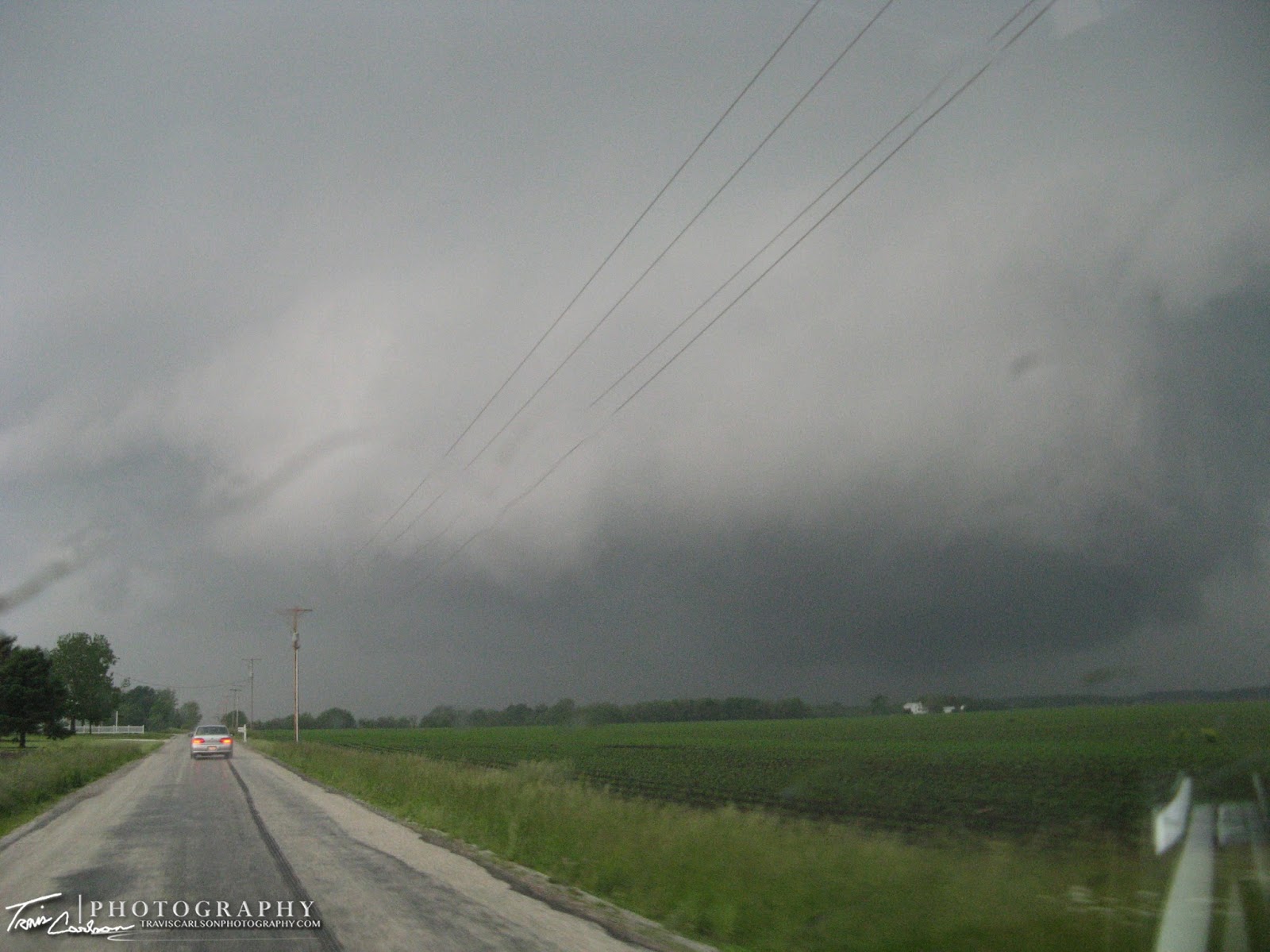
This storm had unreal velocity scans at some points. One of the darkest skies I've witnessed in quite some time. This storm had a great hook and RFD as well. I was really shocked that this storm didn't drop a wedge at one point or at least a tornado. At one point it looked like it was hiding a tornado in a tree-line to our northwest which was really eerie. This storm later munched us as well near I-55 luckily though we missed the intense hail and our windshields were spared.
Huge mesocyclone over the town we were approaching west of Springfield, IL (First hook on LEVEL2 pic below moving into downtown Springfield)
After making a quick stop for some fuel we noticed more supercells to our west roaming around heading toward Springfield, IL. We got off I-55 around Sherman, IL and got to the west-side of Springfield, IL as the supercell showed itself. The sirens were sounding with this storm as we stopped to observe and photograph. It appeared though that as this storm was weakening it was attempting a "hand-off" to our southwest as a new wall cloud formed and a new funnel cloud was halfway on the ground. We then saw the RFD kicking-in tightening the rotation and we were convinced this storm was going to produce a tornado. The air and inflow was "juicy" is the best word that describes it! Turned out it almost did for us, but it did produce a confirm tornado in Springfield, IL later after the RFD overtook us.
New wall cloud forms to our southwest
Nearly got our first tornado of the day right here
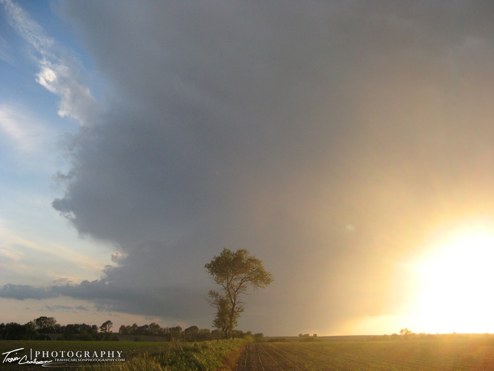
It was a day that wanted to produced tornadoes as every storm we intercepted had rotation and very good rotation. This was one of those rare days it seemed like for IL. So after our vision was obscured by the rain we headed south to catch one more supercell before we lost daylight. A great decision on our part. The storm we were heading toward was a right-moving supercell that had confirmed tornadoes with it. However, it appeared a line to the west might munch-up the supercell so we had to move quick to get into position. We got into position waiting for the storm to pass to our north. Alan and Chris lost there Internet so we relied on my back-up MobileThreatNet for the time being. We quickly noticed this storm meant business. Myself and Dustin agreed this storm would probably TOR before it got cut off by the line of storms trying to overtake it. While Chris was taking pictures you could just make out the mesocyclone as it was about to be overtaken from the southwest. Sure enough it quickly puts down a tornado roughly 2 miles to our northwest near the town of Waverly on Highway 104.

Mesocyclone starting to become visible (this picture was taken right before the tornado formed)
Tornado on the ground just outside of Waverly, IL in a field to the northwest
Last picture we took before we raced to the south as the RFD was kicking-in SPC Reports --> 05/30/08
What a great end to a backyard chase. All day we had several
supercells that almost put tornadoes on the ground and the last one of the day proves to be the one that had some "Illinois magic" to it. So upon us all going our
separate ways to get to our home destinations. I headed north on I-55 into Springfield, IL where I came across another severe-warned storm that had more blinding rain and small hail. I punched through the core on the interstate and got some beautiful
mammatus pictures soon after. That put the cherry on top of the cake as well. After taking some quick pictures off the interstate I ended up driving back on I-74 through Peoria and ended up back in my hometown of
Kewanee, IL around 10:30PM which
definitely beats the night before when I arrived back home at 3:00AM from Nebraska. You can't beat storm chasing in Illinois. Hopefully more is on the horizon over the next week and upon quick glance that appears to be the case. Stay tuned for more storm chasing over the next few months..
.
Beautiful mammatus in Springfield, IL
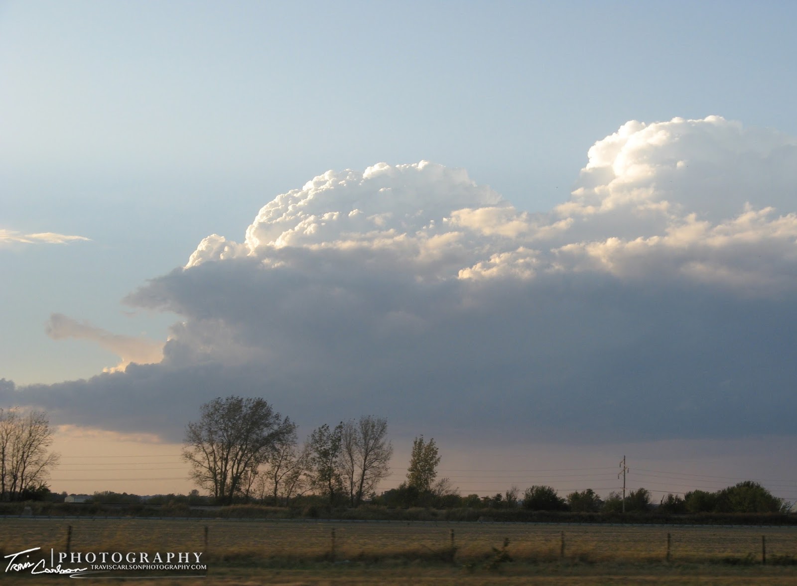
Majestic end to a volatile day