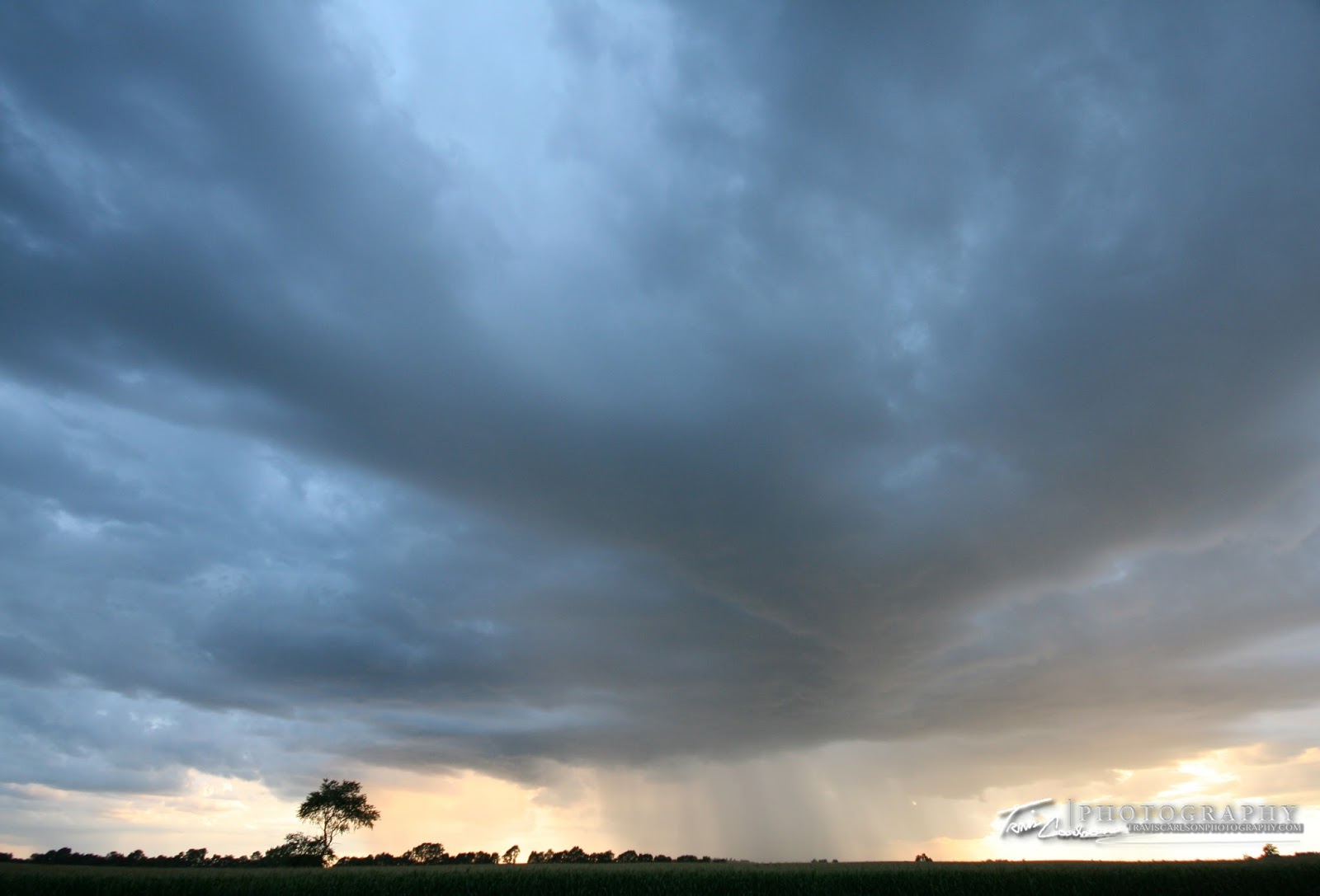
in the past 10 years locally...
you can't help to wonder...climate change?
After nearly a month "blog hiatus" I figured I'd throw together a wide-selection of pictures taken over the summer months to close out this season with a summer 2009 post and update my followers on some information. Thanks to a prolonged dry spell we really haven't had a "second season" for severe weather here in the Midwest here in September, but this has allowed me to already look forward to next chase season. I'll be streaming LIVE for ChaserTV next year and even this winter which will allow you to be in the passenger seat during chases or extreme weather events. I've also newly created a YouTube channel for past and future chase footage (Check it out here). I've also added some equipment upgrades over the last few months and more info can be found at my website on my equipment page. Looking back this past spring/summer was rather rewarding as this was truly my first full-season of chasing. I saw 3 tornadoes this past season. 2 of which were locally in Illinois and Iowa the other was the Aurora, NE tornado in June. My chasing travels led me across 5 different states this year (IL, IA, KS, MO, NE). All in all, a successful season even with a late-start from Mother Nature with a disappointing May. But now summer has ended and we transition into fall...


Summer would not be complete without a pool right?
.jpg)
Some incredible flowering plants around
this area if you look hard enough
 A member of the Mantis family (macro-lens)
 Yet, another butterfly (Painted Lady) but this time on these daisies
Sunflower-type plant (macro-lens)
Yet, another butterfly (Painted Lady) but this time on these daisies
Sunflower-type plant (macro-lens)
 Talk about...RED (macro-lens)

this area if you look hard enough

No shortage of color around this area
 More and more red...
 A male garden spider (macro-lens)
 A neat flower!
 "Stars & stripes"
 "Our rock"
 "Pretty in pink"
.JPG) Butterfly!
Butterfly!
 A female garden spider (macro-lens)
 Waterfall cascading water into our pond
 A bumblebee finding some nectar
 Talk about colorful (pansies)...(macro-lens)
 Trying my best to play with fire...
 After a wet summer day...you could
find something like this (macro-lens)
 The Monarch butterfly extending its wing-span

find something like this (macro-lens)
As one season ends another begins...the beginning of fall foliage
This begins some more photography from this past summer...here's a collection of some of my favorite family pet pics over the last few months:


.JPG)


Luigi, our male cat and is no stranger to the camera
 Angel, the other female cat (Calico)
 On the prowl...
 Indy, posing for the camera (Yellow Lab)
 Umm...expecting a call?
 One of our goats enjoying some cement blocks
 Close-up of our trouble-maker
 I'll take a line in Ghostbusters from Bill Murray here:
"Dogs & cats living together...mass hysteria!"
 Another goat sunbathing in the pasture
"Dogs & cats living together...mass hysteria!"
Check back over the next month as I'll be planning to get a fall post on here as well once when the fall foliage really blossoms here in the upcoming weeks or if any active weather makes an appearance...