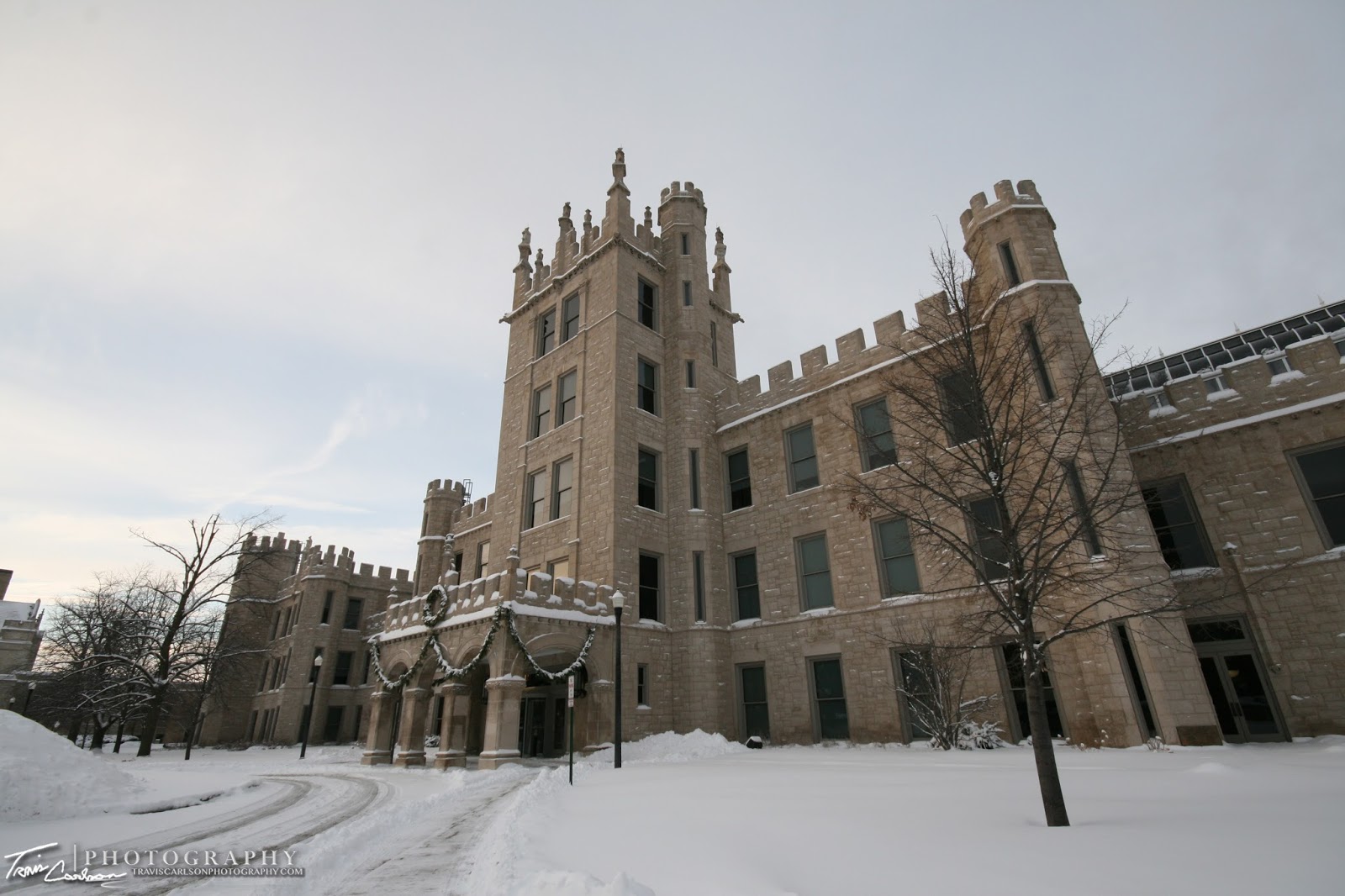
This evening, I ventured out on campus here in Dekalb, IL to check out the fresh snow that old man winter has been dumping on us since this past Friday. Finally, the snow stopped around 3:30 this afternoon after off-and-on snowfall since Friday. It wasn't a big winter storm just consistent light to moderate snow for the last couple of days. Due to it's long duration however it added up. I haven't heard any snow reports from here in Dekalb quite yet, but in surrounding areas 6-10" total snowfall seems common especially near Chicago. Thanks to frontogenetical forcing near the 700mb level we had a good duration of snow late last night through this morning with occasionally bursts of heavier snow with banding. To my liking, skies finally cleared this evening allowing me to be delighted with some picturesque scenes thanks to the low-sun angle. I've added a handful of images below:
20 minutes later...(That's Midwest weather for you)
Holmes Student Center & MLK Commons
Zulauf Hall & Cole Hall with a winter reflection
Holmes Student Center (left) & Williston Hall (right)
Zulauf Hall & Cole Hall with a winter reflection
Holmes Student Center (left) & Williston Hall (right)
Another academic semester is about to begin this week here at Northern Illinois University. As far as the weather for the upcoming week...get ready for BRUTAL cold! The source region for this arctic air for late this upcoming week is from Alaska and you know how cold this time of the year it is in that area. These brutal cold outbreaks in the winter happen when ridging in the Pacific northwest occurs. This allows the "floodgates" to open and all that cold-air in Alaska spills into Canada and eventually the U.S. Maybe record cold here in Dekalb late next week? We'll see, it wouldn't surprise me especially with the deep snow pack we have across Northern Illinois now and climatology we're in the coldest time of the year. If you aren't already begging for Spring you will be by the end of next week. I assure you!


