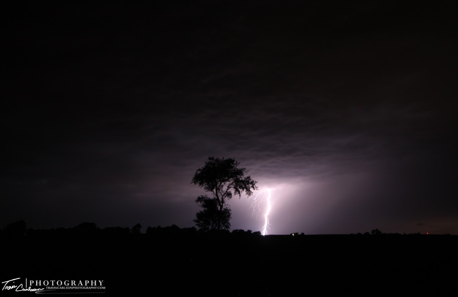
MCS illuminating an eerie sky outside Kewanee, IL
On Tuesday, I photographed a severe thunderstorm that developed ahead of an intense MCS (Mesoscale Convective System) as it approached from the west near Galesburg, IL. I got off work at around 9:30pm on this evening prepared for an evening of MCS activity. Truly, I really wanted to chase in southwest Iowa on this day seeing "true" tornadic potential, but nonetheless I took what I could get and ended up with a spectacular lightning show for most of the night here in west-central Illinois. I photographed this first severe thunderstorm as it passed off to the south near Laura, IL where it was a notorious "hailer". That storm would later form its own cold pool and blast east while its predecessor began to move in from the west. This new MCS was quite potent with 70mph winds gusts and even for a time developed a notch prompting a tornado warning for southern Stark County and portions of Peoria County off to my south. I managed to photograph a few decent CG's, some crawlers, and even some anvil-zits as well on this night. I've added quite a few photos below that I took from the good ole' backyard:
Intense crawler from this thunderstorm
CG in the western horizon Three CG's all at once...what a lightning display! CG barrage...
CG in the western horizon Three CG's all at once...what a lightning display! CG barrage...
I'll be posting some more lightning/twilight convection shots from Wednesday in a future post and also Saturday's west-central Illinois supercell/tornado as well whenever I get around to it. Yep, finally my luck turned around after a difficult Spring thus far (tornado-wise) at least. More to come...


