Thursday, April 25, 2013

04/18/13 Eastern Illinois Shelf Cloud

Impressive looking shelf cloud begins
 to overtake me near Danville, IL 

On April 18th, I ventured out the door at 4:00am and began to head out of Peoria, IL east along I-74 to stay in front of a developing squall line. I had to dodge some serious flooding along the way that was ongoing across the local-area due to the 5"+ inches of rain that had occurred in a 24hr. period. By early morning, I found myself east of Champaign, IL near Danville, IL awaiting a Mesoscale Convective System (MCS) that was beginning to organize to my west. My location was characterized by only about 500J/kg of CAPE, 0-6km shear at 50kts, and a moist boundary layer with dew points near 65°F. I thought about chasing in Indiana later in the day, but my gut told me that destabilization would be a major issue to my east which ended up being the case for many chasers that made the trip to Indiana. Too much shear and meager instability due to the lack of surface heating. This day is what I call a "one and done" kind of chase. Basically, get in front of the MCS, take a few photos of the shelf cloud, and get a car wash. By mid-morning, I already called it a day knowing there wasn't much hope for severe storms in the afternoon as even this MCS was struggling to maintain itself after briefly going severe-warned. I headed back to Peoria, IL by noon, took a quick nap, and later documented the major flooding occurring in the area. I'll have another post regarding that event at a later date. Anyhow, I've added some worthy photos from this brief chase day below:

First view of the organizing shelf cloud at a wind farm...
Illinois landscape already showing signs 
of flooding as more rain is about to move in!
Shelf cloud moving-in with gusty southerly winds at
30mph at this point bringing in the warm air into the storm...
Outflow providing some picturesque photos
over the next hour!
Crazy lookin' sky providing some good photo-ops...
Another shot...
Looking north at a stormy landscape!
Whale's mouth moving overhead...
Contrast begins to change with the passing of
the shelf cloud thus providing some 
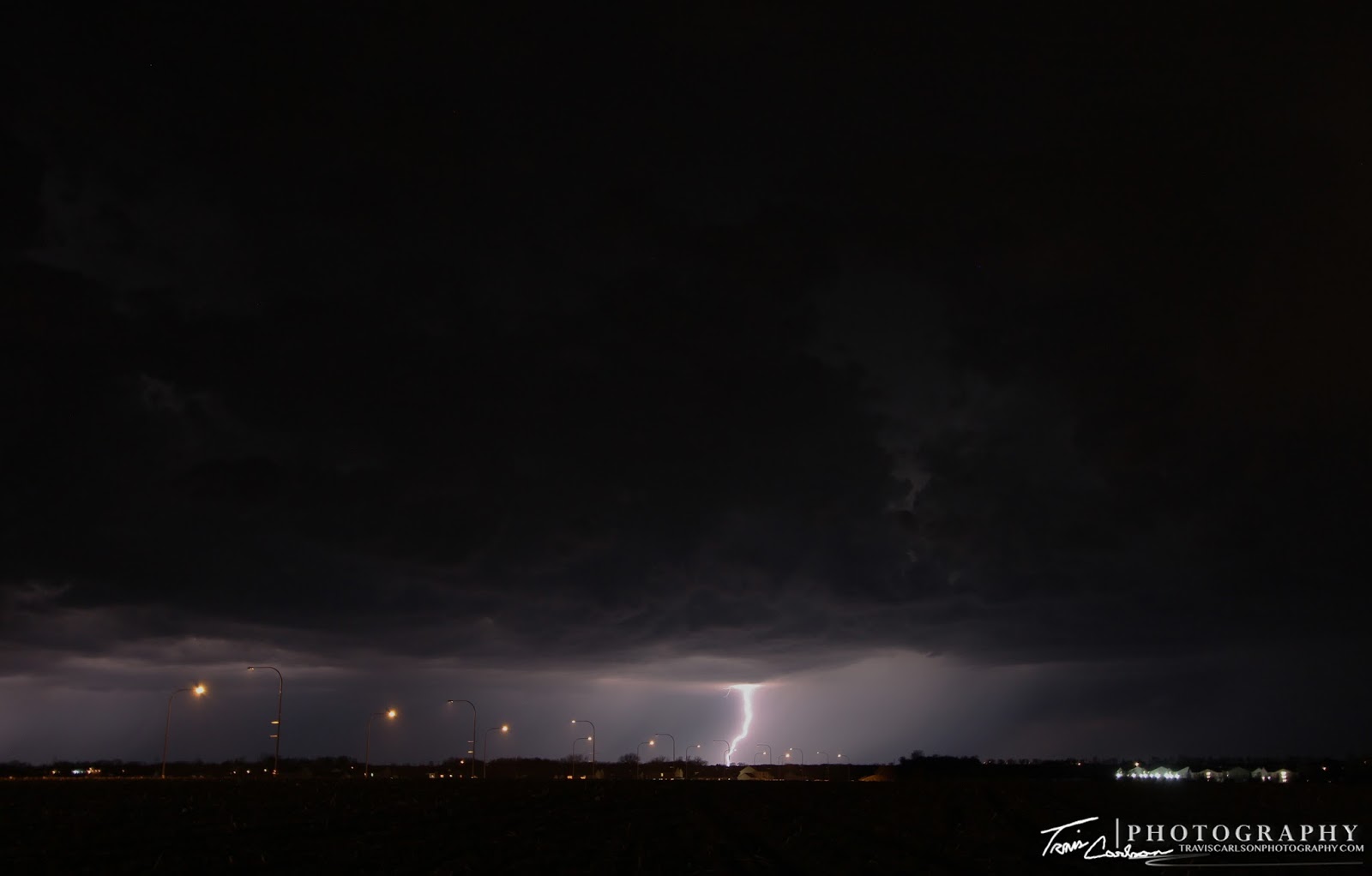
scary looking color's to the sky...
Good stuff!
I head back east along I-74 as I noticed a notch
 trying to develop along the line which actually had rotation!
I've added a YouTube video time-lapse illustrating
the rotation of this embedded supercell from
my GoPro cameras (above)
Looking south as the shelf cloud moves in once again!
Pretty cool shot here as this storm was at its strongest with
nice rotation in this notch. Good thing the GoPro's
were recording at this moment!
Amazing cloud formations right behind the
shelf cloud with some rotation (left) which was
a real treat to be able to observe after a long winter!
One more shot of the departing convection...
Saturated Illinois landscape from heavy rain as the
shelf cloud overtakes me for the last time on this day...
 
I've added a YouTube video of the chase day
 from my GoPro (above)

I'll update with another post regarding the major flooding at a later date that occurred over the last week when I get all caught up on some tasks. As far as my vacation goes I usually plan every year to head out the last week of May and first week of June. This year, I may be heading out later in June depending on this stubborn weather pattern and some new work obligations. I'll update accordingly.

04/17/13 Warm Front & Illinois Convection

Thunderstorm trying to get its act together
along a warm front near Tuscola, IL

On April 17th, I began my first storm chase of 2013 as soon as I got off work around 3:00pm. Once off work I headed south from Peoria, IL on I-55 to get to my target-area outside Champaign, IL. The models the previous night were showing the warm front making it as far north as Peoria, IL, but early on in the day I realized that they were way off on its progress north. This was due to the models underestimating the cold pool left over from overnight convection north of the boundary. That meant I had to head farther south and eventually east to find any potential "magic" along the warm front by early evening. The area I was targeting along the warm front was characterized by nearly 2,000J/kg of CAPE to the south, 0-6km shear at 60kts, a supercell composite of (12), 0-3km SRH around 300m2/s2, and a moistening boundary-layer with dew points near 67°F. The main question would be could the cap be broken at this point. By evening, one storm did develop to my south along I-57 near Mattoon, IL and was pushing north. This looked like the only shot for something to cross the warm front so I stayed with this storm as it progressed north to my location near Tuscola, IL where I was sitting along the warm front. The storm did have some small hail, but really never got rooted on the warm front like I had hoped for. My best explanation for why this occurred is that the cold outflow from storms in northern Illinois kept pushing the warm front south much of the afternoon which allowed the front to undercut this storm before it could go crazy. Also weak convergence along the boundary didn't help as well. I shot a few photos of this thunderstorm for a brief time and then decided to head back home to chase very early the next day around dawn. Overall, though this was a good day to get back into the swing of storm chasing. I've added some photos I shot and some video below:

Storm to my south approaching
the warm front as I patiently wait...
Brief lowering here, but nothing of overly concern...
An ugly looking storm at this point!
Quoting a cartoon/TV series "It's gonna rain"!
and boy did it ever...
Wide-angle shot before I head
home to rest up for the next chase...
 
I've added a YouTube video from my GoPro's (above)

That's all for now. I'll be updating with Thursday's chase (April 18th) as well at some point as I'm in the process of getting caught-up on posts. Stay tuned for that in the coming days.

Friday, April 12, 2013

04/06/13 Spring Lightning

Lightning lights up the northern horizon
north of Peoria, IL in this wide-angle shot...

Last weekend, a few spring thunderstorms passed to the north of Peoria, IL during the late evening hours. Unfortunately, the storms were moving fairly quick off to the northeast and I had limited time to photograph them as I was stuck at work during the evening. Once off work though I spent about a good 40-minutes trying to grab a couple shots or at least one decent CG (cloud-to-ground) shot. I didn't get really any good opportunities as most of these thunderstorms were just a little too far north and didn't have many good bolts to them. This particular evening did allow me to get back into the swing of things however in terms of lightning photography. I did plan to chase this week April (15-17th), but I was not eagerly thrilled with this early-season chase setup despite the strong storm system. With that being said, I have been suffering from a great deal of information overload in the last week due to the immense amount of model-runs I looked at during the event just in case I ventured out. I almost drove to Kansas on Tuesday only to decided to stay put since my gut told me it would be a waste of time. Wednesday, I held on to hope that the warm front would park itself in central Illinois and I'd be able to chase, but that front pushed way south into southern Illinois so I didn't bother to venture out. It turned out I really didn't miss much so it ended up being the right decision(s). I'll save my time and money for the "big days". Anyhow, I've added just a couple photos of a disappointing night in terms of lightning photography from last weekend below:

Some intra-cloud lightning illuminating
the sky from time to time...
Storm clouds rollin' in over the apartment complex...
A distant CG looking toward Dunlap, IL
Just like that the storms were gone...

That's all for now. The long-term weather pattern doesn't looks that promising for severe weather over the next week or so in our area at least. The southern Great Plains and Deep South may have some decent severe weather this upcoming week though. We'll see what happens. My best guess is that we may be looking at more promising severe weather in May and June rather then April since winter has been tough to get rid of this spring especially across the Midwest. Once we get some good storms to chase (hopefully soon) I'll update again...