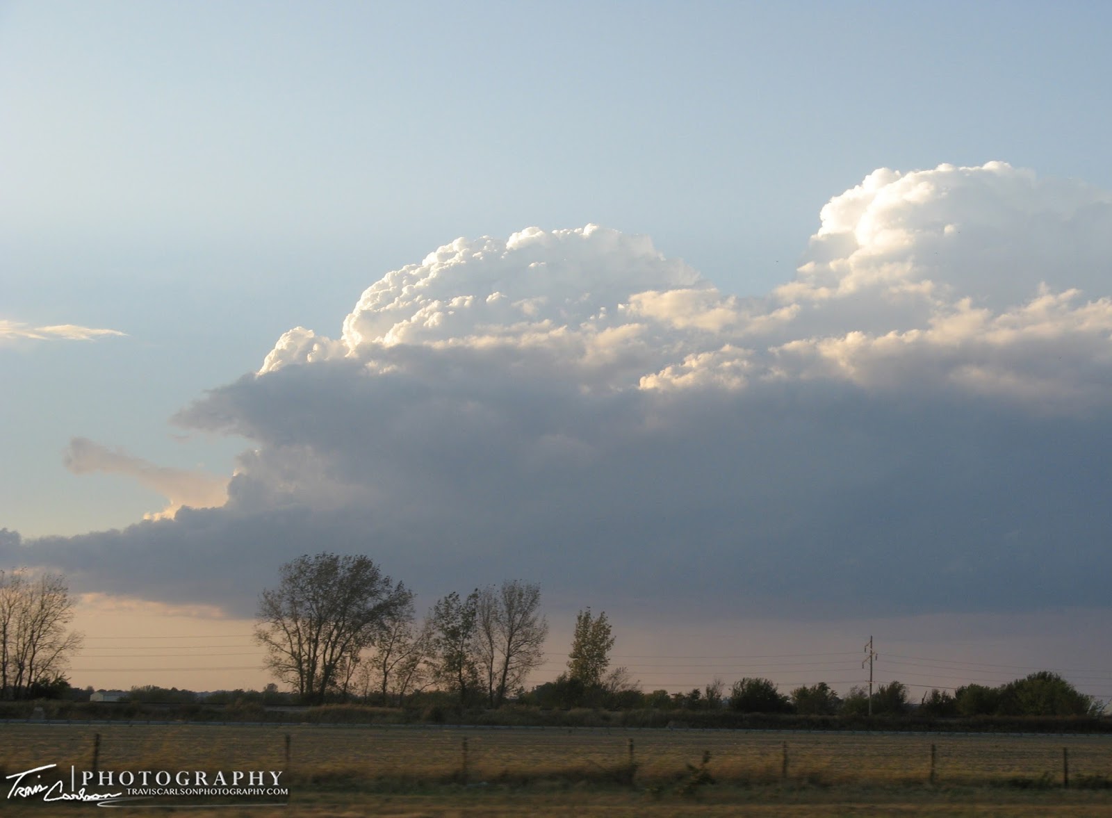
Wow what a tornado outbreak and October of all months. However, I'm not a bit surprised due to the dynamics that were in place today, everything just came together and that rarely happens. You rarely see all of the severe weather as "supercell mode" especially in October and here. Early on a MDT risk was issued for extreme Eastern Illinois and much of Indiana. So at 9AM under sunny skies the chase was on. Got to my target around 12:30pm but was concerned that the best chance for development in the evening would be farther east into Indiana. Upon realizing this I ventured into Indiana for a few hours ending up Northwest of Lafayette, IN. CU were all over all morning and afternoon as another wave of CU moved in later. I witnessed a lot of up and down CU and this briefly concerned me. CAP was in place and the concern was that darkness would beat the eroding cap which means a disappointing long ride home. So as that was becoming more evident I decided to head back west giving up on Indiana. On the way back convection began behind me (figures), but as it did new convection fired from a Bloomington/Normal to Chicago line. All of which included around 5 supercells. I caught two of them by making a quick decision to hit I-57 running southwest to northeast with the moving storms. It was a great call. I got two supercells to my west on the interstate. One south and one north of Kankakee, IL. Overshooting tops and classic supercell structures formed. A rear flank downdraft formed on the cell north of Kankakee, IL. As it did a wall cloud and funnel cloud formed. Just about every picture today was awesome with great lighting due to the storms initiating near sunset. I got some great meso shots when I pulled off the interstate not risking getting hit by the core of hail and rain.