

Yesterday, the chasing gear finally got dusted off again as I drove out to northeast Iowa to intercept some severe thunderstorms. This day was mostly a nowcast chase for myself to get a few shots that I haven't got this year during the spring. Knowing that getting anything tornadic would be a chore on this day climatology speaking I decided to cautiously chase these storms which is unusual for myself. The reason for this decision was because just about every storm was HP (high-precipitation) and full of hail in some cases BIG HAIL. I chose to stay a good ways back from these storms precip cores as destroying another windshield this year would not be wise especially when you're not dealing with tornadic storms/classic supercells. Now to the chase: The day consisted of an elevated supercell that was riding an instability axis in northeast Iowa. As I approached, it quickly fell apart. I quickly decided to head west to tap instability expecting more cells to develop along a strong cold front. This indeed occurred, but the morning elevated supercell had already done its not so magic by convectively contaminating much of the region. This limited just about every storms low-level organization afterwards. If you can't get low-level organization how are you going to get tornadogenesis?! So this is when I decided to play it safe for the rest of the day which actually looking back wasn't a bad call at all given the mesoscale setup. I ended up catching some beautiful mammatus under the anvil near Cedar Rapids, IA which is one of the shots I've been missing this year. As the sun began to set I decided to get back east on I-80 and head home as the storms congealed into a respectable MCS that pushed southeastward. My hope was to get some lightning shots as I arrived home as the light show on the drive was amazing. Actually, on any of the chases I've been on this year this one had the most spectacular lightning shows of them all. The atmosphere was just electric it seemed probably from all of the hail in these storms allowed for lots of charge separation and also the presence of a high-CAPE environment. Not many photos on this day as I was constantly on the move and I didn't have any opportunity to shoot any video unfortunately.


Closer-view of the mammatus bubbling under the anvil
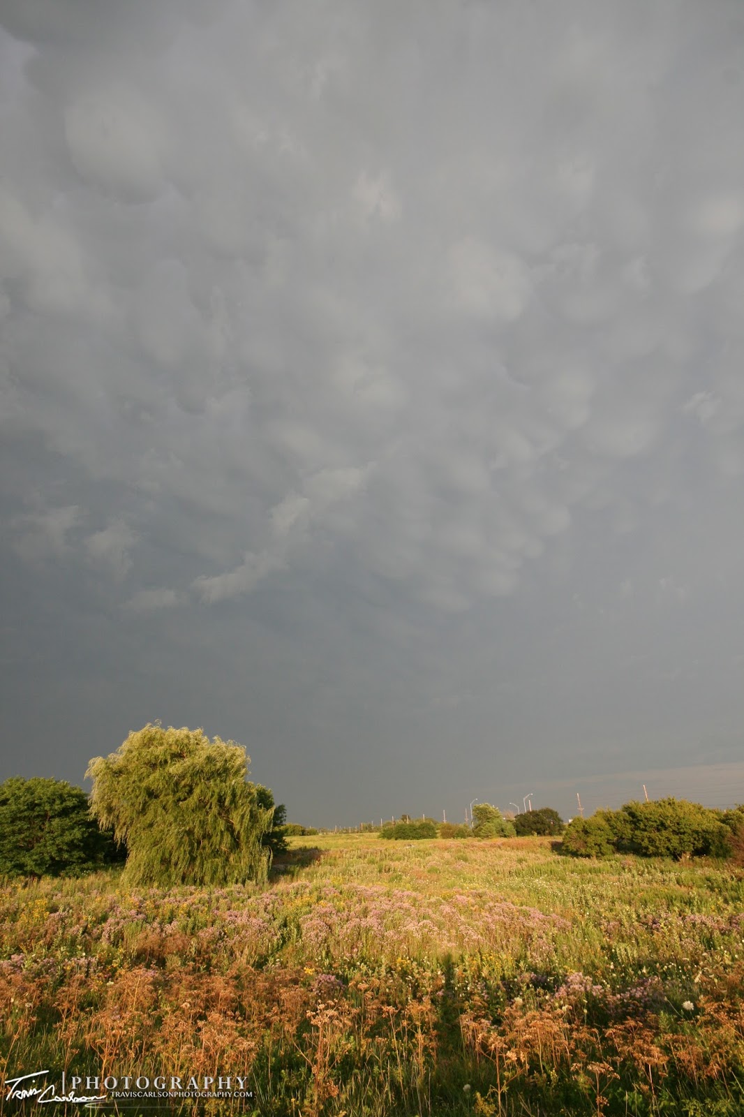
Mammatus yet again outside Cedar Rapids, IA
For late-July, I'll take a severe MCS! Also, my personal weather station did log the entire event as the storm moved in around 10:00pm last night with a peak wind gust of 33mph.