

After a night of reviewing some data it appeared a pretty awesome chase setup in western Iowa and eastern Nebraska would happen today. There was also a potential for a few strong tornadoes so we decided to head west on I-80 for yet another chase day. I met up with Victor Gensini and Dustin Oltman in Geneseo, IL where we got back on I-80 to get to our target of Omaha, NE. After realizing Vic's taurus needed a new tire and that was an understatement. We decided to get that fixed in Des Moines, IA which put us back about an hour, but still in decent shape to make it to our target area when convective initiation would take place around 5pm. Early-on it "appeared" that we would get some discrete classic supercells based on radar trends as morning convection cleared out at noon. However, quickly the storms fired and were severe, but "messy". We deviated from our original target of Omaha, NE due to the fact it would be hard to chase in Omaha a metro-area so we decided that Denison, IA looked like a better option.
The best supercell we saw on radar was northwest of Denison, IA and the most discrete at the time so we hopped on I-29 heading north to intercept, but as we got there it didn't look as good as it did in Monona County where we stopped to observe.

We sat for a little bit and watched it and sure enough it started to form a wall cloud. We then got back east to try to keep up with it. The TIV (TornadoInterceptVehicle) drove by us while we were heading north.The wall cloud looked like it was weakening, but behind us wrapped in rain of course a common theme this year it seems a new wall cloud formed which explained the reason the TIV headed in that direction. We decided to give up on this storm which did end up to bite us as it produced a confirmed tornado to our northeast. We headed back on I-29 south to intercept a new tornado-warned storm that was crossing the interstate, but this required "core-punching" to get to it. After driving through some blinding rain we punched through only to find a mesocyclone to our west about a mile away. Yikes right? We had to get away from that thing meanwhile it begins to move right over us on I-29 as we tried too. All 3 of us knew we had to get away from this and fast. We passed the TIV and many storm chasers including the DOW (Doppler-On-Wheels) truck. This meant we were WAY TOO CLOSE for comfort. I have to say it was extremely DANGEROUS and I don't recommend it, but at the same time it was most majestic and awespiring sight I've ever seen as the mesocyclone was backlit with the sun. The rotation was unbelievable!!!! Unfortunately we were too close for to this thing and had to get out of there, but I was able to get 3 pictures of it out the window.


After we got out of harms way we had to navigate around many tree-limbs that were thrown onto the interstate. Some trees were also damaged along the interstate as well. Tornado or RFD straight-line winds? Who knows on that one. Nevertheless, that storm meant business and later on that night we would hear that soon after that same storm dropped a tornado on Little Sioux, IA causing 4 deaths and several injuries -->SPC REPORTS -->Damage Survey.
Too close was an understatement for us-->(NY Times). I wasn't that surprised after observing that wicked rotation it had when we punched through. Nevertheless, we did get through it. However we lost Internet several times during the day. This was tough as in some cases we had to call off the chase because we had no radar. What didn't make sense was we all had different data cards and 3 computers with different cellphone providers and none of us could get Internet access several times. This was really FRUSTRATING!!! Also Omaha's radar (KOAX) going down didn't help either as we had to switch over to Des Moines' radar (KDMX) the rest of the night.

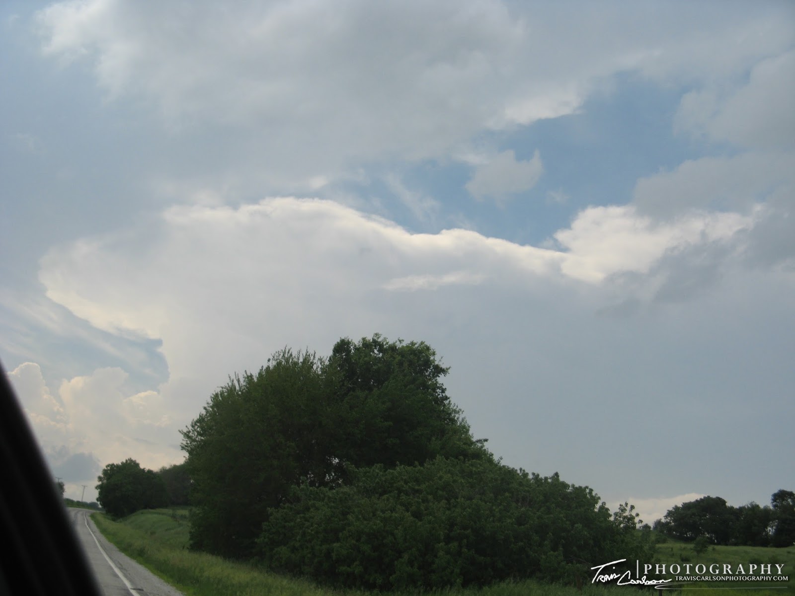
After all 3 of us were frustrated with all the storms "lining up" with embedded supercells we decided just to get on I-80 east and stop every once and awhile to get some pictures off the interstate of a shelf cloud with embedded supercells in it. It was just hard to chase with a lack of Internet most of the day and being how it was incredibly dangerous. Also we were beginning to lose daylight so we decided it was time to continue heading east to keep the storms behind us. On the long drive home though we were hearing of the carnage and destruction in Manhattan and Chapman, KS from a later ranked E-F4 tornado that caused widespread damage that night in those towns. I got home around 2:30AM and realized I better get to sleep early after a quick glance at tomorrows outlook with a backyard chase in Illinois in the offering.