Sunday, was what I like to call a "reward vs. risk chase" in the sense that there were two marginal targets in play. This day featured a northern target in South Dakota along a cold front where capping would far less be an issue or a southern target in southeast Nebraska and southwest Iowa where the cap would be very strong. In other words, you would see storms guaranteed via the northern target or possibly nothing from the southern target. However, the southern target would also allow for more discrete storms. A gamble for sure! Early-on dew points were in the 30's and that was definitely concerning, but with moistening throughout the day and a shortwave things were still a go. I'm a risk-taker so I chose the risky (high bust) target in southeast Nebraska for the day near
Nebraska City, NE. The northern target seemed just as questionable early on so I kept talking myself into heading south on I-29. After arriving in Nebraska City, NE I progressed a little farther west to set up camp for most of the afternoon in Syracuse, NE near
Lincoln, NE on a theta-e tongue. Interesting enough I hear on the way that Vortex2 also were also gonna gamble with me and target this same general area. The reason for targeting this area was that it appeared a subtle shortwave would enter this area at peak heating and possibly be enough to overcome a stoup cap that was in place as moisture increased during the day. It looked questionable though by 5:00pm, with no CU field in place. That changed in 1-hour! I was amazed how rapidly this occurred and as soon as it did I knew I was gonna be in good shape (no bust today). As the CU field developed over
Syracuse, NE I knew initiation was getting close so I blasted east on NE-2 to better road options near Nebraska City, NE. Sure enough the first cell initiates maybe 20 miles to my west near Syracuse, NE where I was previous (that's how you forecast convective initiation folks). It quickly goes severe-warned and with .75-1.00" hail. The severe thunderstorm had crawling storm speeds at 30-35 mph which allowed you to keep up rather easily. I stopped to take a few photos and than found a decent route to get across the Missouri River so I didn't get trapped with limited road options. We made it across and continued chasing a beautiful severe thunderstorm with brief mid-level rotation at times as we progressed into southwest Iowa. We also ran into the V2 armada several times during the evening. I also briefly saw Dr. Josh Werman outside observing the convection at one point while his D.O.W. (Doppler-On-Wheels) was scanning. We also ran across TIV2 and saw some probe deployments take place too. The storm weakened at sunset and never became tor-warn even in a favorable environment to the disgust of myself and I'm sure V2. However, looking back the northern target really never produced either and the storms were less likely to remain discrete so the gamble paid off in my eyes. At sunset I set up shop near a wind farm in southwest Iowa to get some lightning photos to cap off the day. Prolific lightning producers these storms were at sunset as many other chasers decided to sit back and enjoy the show for an hour or so. I've added many photos from this chase day below:
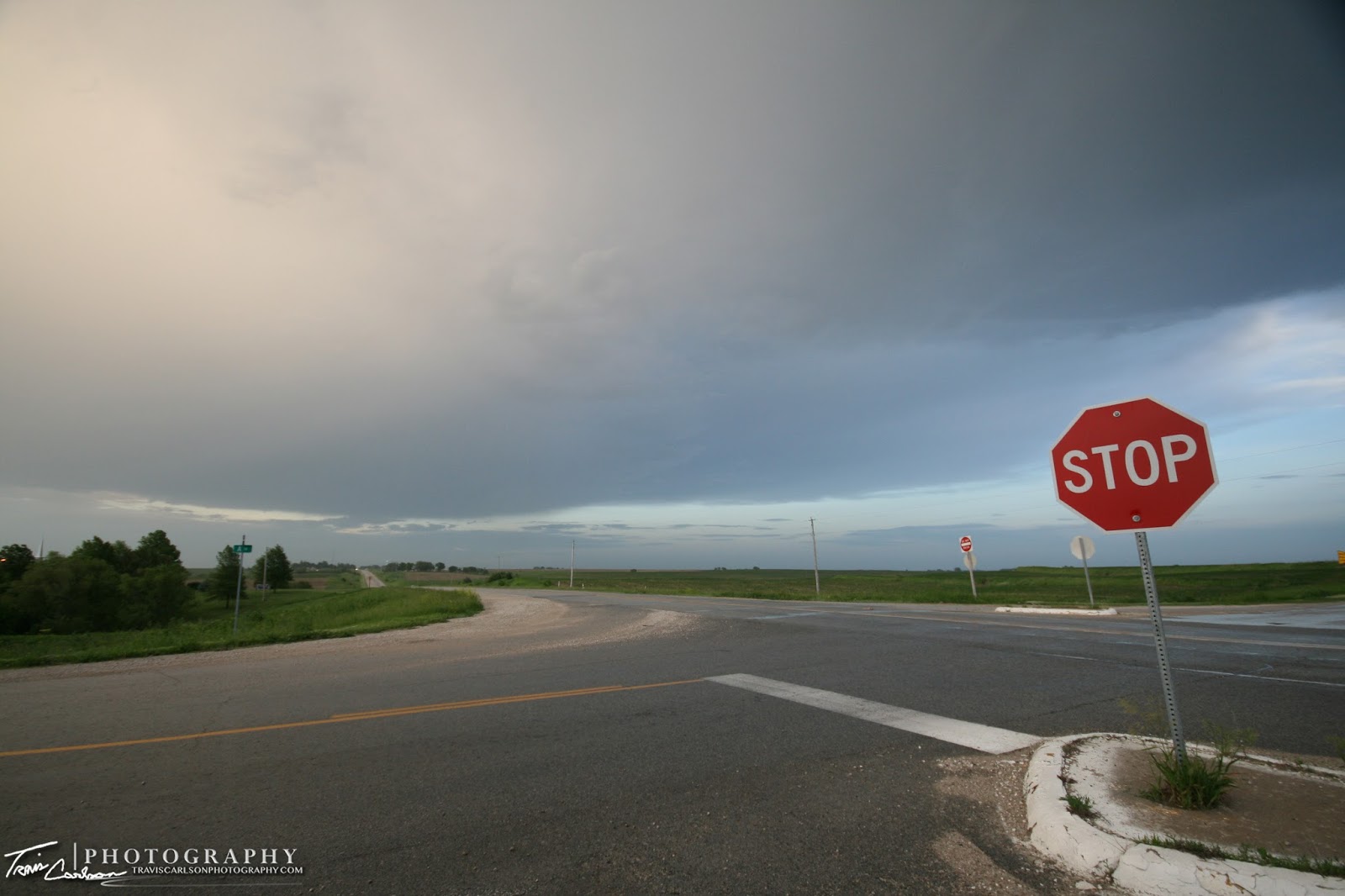
Severe thunderstorm initiating to my west near Avoca, NE
Discrete severe thunderstorm beginning to organize
before crossing the Missouri River
Beautiful classic "atomic bomb" anvil
Chase convergence in western Iowa
D.O.W. (Doppler-On-Wheels) trying to find an area to stop and scan
Anvil at sunset with lots of different hues...
Brief mid-level rotation under the high-base
Odd feature suspended under the base
The closest to a "triumph" on this day...
Another intense CG striking in the middle of the wind farm
Saving by far the best for last...
I managed to room in Nebraska City, NE for the night with the prospect of another chase day the following day in southern Iowa. I'll post those photos shortly...