

Friday, consisted of a brief chase after a tour of tornado damage in Kirksville, MO earlier in the afternoon (see previous post). My plan worked out quite well: visit Kirksville, MO and chase the CU field back to Illinois where storms should initiate along a weak cold front moving into central Illinois. Sure enough that's what happened. I followed the CU field from northeast Missouri into Illinois and convection fired after 5:00pm. This happened due to diurnal heating and convergence along the cold front was just strong enough as the cap broke. I didn't expect much "severe" since moisture-return was a major problem along with weak forcing. However, being that this was a northwest-flow setup I decided to chase these storms since they usually provide for great photos. These storms were rather weak on radar and low-precipitation (LP), but a few toward sunset exhibited brief mid-level rotation especially near Champaign, IL. The cell I was chasing north of Springfield, IL also showed some brief rotation as it organized. These storms were quite photogenic (typical) in northwest-flow setups. Some (including myself) believe these storms provide better photo-ops than southwest-flow storms. The reason: it can be argued that you're usually lacking moisture like we did yesterday in these setups. This acts to prevent storms from becoming high-precipitation (HP) in nature. Another potential reason to go along with this theory is that these setups usually have plenty of heating during the day unlike (most) southwest-flow setups. In southwest-flow you're usually always fighting convective debris from the plains which limits heating throughout the day in the Midwest especially (not so much in the Great Plains). That's why I believe northwest-flow storms here in the Midwest provide for some of the best photos in any given year. Primarily, this is why I chase these very marginal days beneath northwest-flow aloft. Well and sooner or later you'll get rewarded and have a beautiful (LP) supercell to bring home to annoy your chasing friends ;)

Now leaving: Missouri, The Show Me State

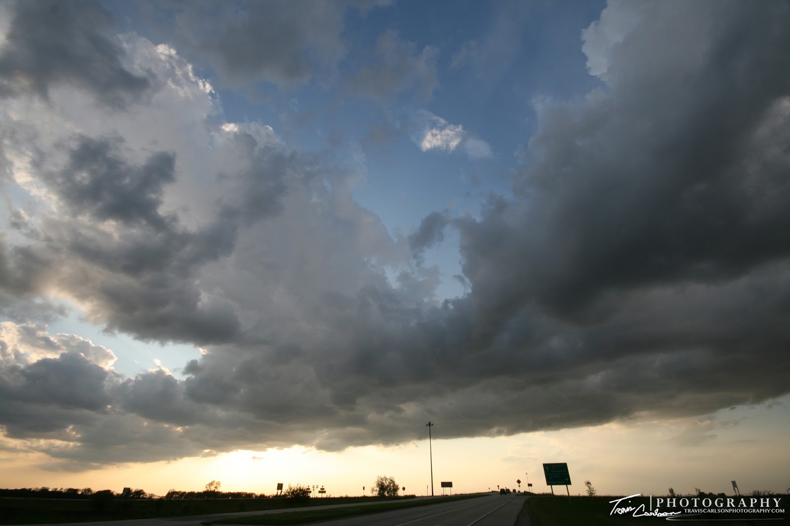
CU field becoming agitated at this point as I enter Illinois on I-72
 Warm-moist air rises folks...
 Today, was full of great convective tower shots if you had the proper lens
 Text-book flanking line example (the stair-step) into the main updraft
 Convective towers accelerating vertically into the atmosphere
 Grungy storms on radar, but in the field they were quite photogenic
 More towers developing along the boundary at sunset
 One of my favorite shots of the day
(reach-out-and-touch-it convection)
 Brief rainbow at sunset as the storm moves to the southeast
 An example of buoyancy at its best
There is a possibility I'll end up chasing tomorrow and Monday so stay tuned. Yesterday, was a rather productive day I must say in all things considered. Kind of left me wanting more...
(reach-out-and-touch-it convection)