

shows off its gust front over Peoria, IL
About a week ago, I woke up early on a Wednesday morning as a decaying Mesoscale Convective System (MCS) was heading toward Peoria, IL shortly after 6:30AM. I pulled out the "gear" and headed out for some local photo-ops hoping for a decent shelf cloud to photograph. This MCS was quickly losing its cold pool as it began to pass overhead as it was currently in a weakening-phase. With that being said, I ended up shooting a few decent shots as the shelf cloud approached and passed off to the southeast of Peoria, IL. I missed the supercell and tornado near Champaign, IL the previous day as I was at work. It's not like Pokémon folks..."You can't catch them all"! Anyhow, I've posted a few photos and some time-lapse video from May 2nd below:

northwestern horizon....

with my Canon telephoto-zoom lens (70-300mm)!
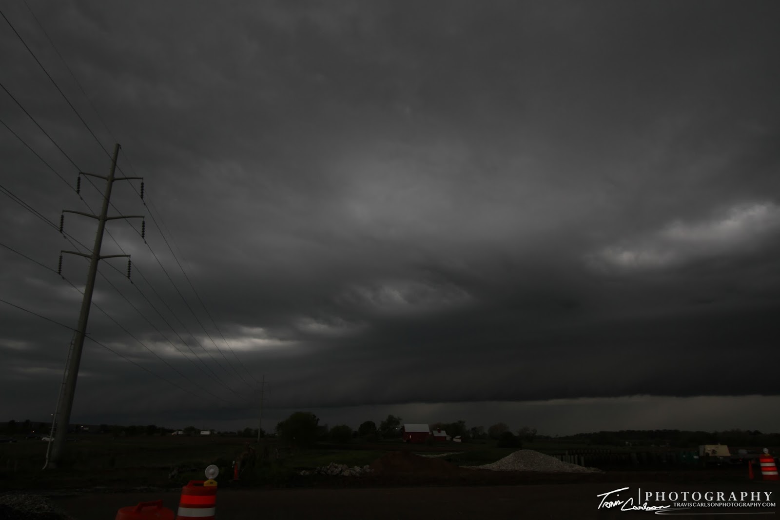
MCS was decaying therefore it left a pretty dull
shelf cloud at this point...

Another nice wide-angle shot of the distant convection
moving slowly overhead!


One last sunrise shot!
I've added a YouTube time-lapse of some of the convection
in the northwest horizon at sunrise (above)...
That will wrap up this blog post. Finally, I was able to photograph some convection and last week provided some "chase" opportunities as well in the local-area. I'll post those chase logs in the coming days! More to come...