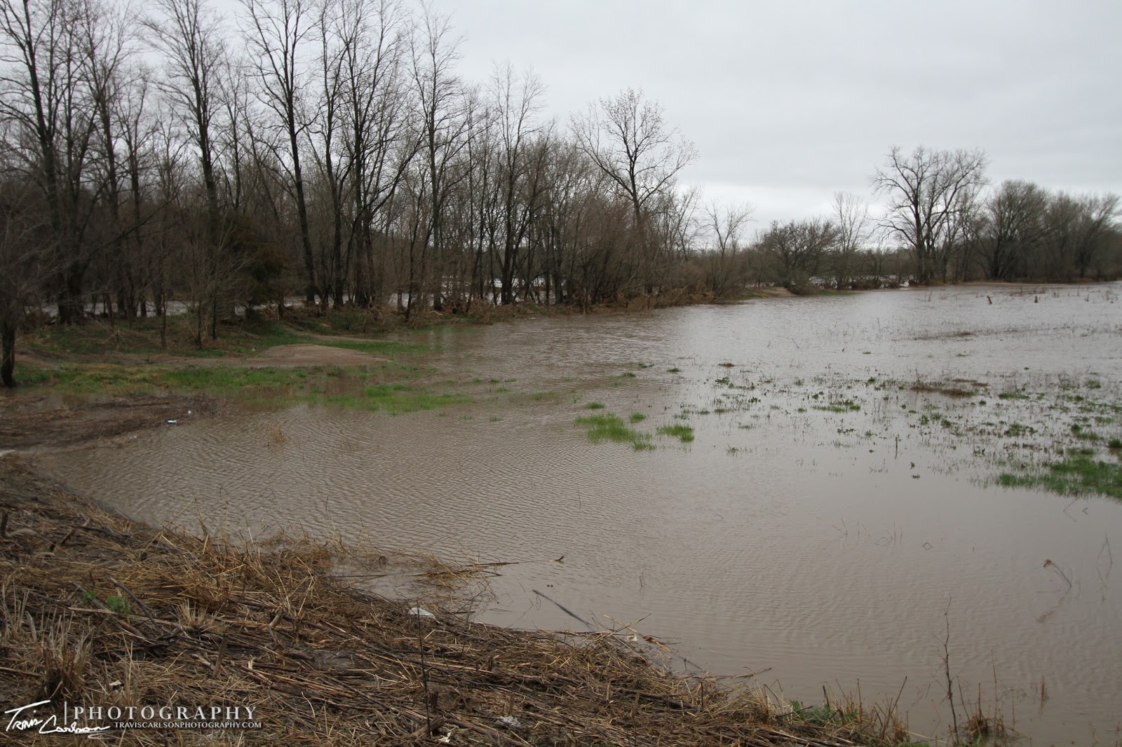
flooding last month in Peoria, IL
They say April showers bring May flowers. Well, that very well may have been true this spring as April was a very wet month across much of the Midwest and especially Illinois seen here. It had been an already wet start to the spring before the main event occurred. Record heavy rainfall occurred as a slow moving storm system provided amazing rainfall amounts in a 24hr. period across much of northern and central Illinois on April 17-18th seen here. The culprit for this record event ended up being a stationary frontal boundary that stretched across central Illinois. Training of thunderstorms along and north of the boundary over the same areas allowed major flooding to occur. Here's a radar loop of the entire event. Of course this much rain in a 24hr. period created major flooding problems across the state. Roads impassible or washed away, mudslides, creeks and rivers over their banks, and even later record flooding along the Illinois River in Peoria, IL and many other locations. I spent a couple days shooting some photos of the flooding in the surrounding-area in Stark and Peoria counties. The Spoon River I also photographed at its crest shortly after the rain ended as it empties downstream into the Illinois River. I've added photos of the major flooding below:
of Illinois during and after the event!
throughout much of Illinois!
to what many may believe...
see your driveway swept away...
Rain gauge back home in Kewanee, IL
after the major flooding...
all the debris that was being pushed downstream...
river in the background!
That wraps up this post. The weather pattern looks pretty pathetic for any significant severe weather for early-May despite what climatology would tell you. I expect I'll be enjoying the outdoors for the time-being until we get more active in terms of severe weather. At this point, I'm thinking of a two-week trip in June this year (a little later than previous years). Hopefully, it'll be active by then. We can all hope...


