
.JPG)
A rather impressive Alberta Clipper produced yet another significant snowfall in the Midwest and in my hometown of Kewanee, IL. High LSR's (liquid-to-snow ratios) allowed accumulating snow to quickly pile up. Also, the presence of 200mb deep-layer saturation in the optimum -12 to -18°C ice crystal growth zone produced dendrite snowflakes during this winter storm. Locally, we received 5.0" inches of new snow accumulation by midday Thursday with 1.0" inch of additional snow accumulation as the wrap-around deformation zone rotated through Kewanee, IL bringing the storm total to 6.0" inches of fresh snowfall. Quite impressive for an Alberta Clipper! Some areas even picked up 6-10" inches as well just to my southwest in Galesburg, IL and parts of west-central Illinois. Another secondary heavier band also set up toward Dubuque, IA along the IL/WI border thanks to the lingering deformation zone Thursday. Northwest winds 20-25mph as the clipper pulled-away created extensive blowing and drifting of the snow especially in rural-areas after the storm. On another note, I recently joined the Significant Weather Observing Program (SWOP) at ILX to help the local NWS office out with snowfall totals etc. You can observe my snowfall measurements as well as other SWOP members during significant events here. I've included some photos from this winter storm below:
 Icicles galore on our roof
Brilliant blue skies after this winter storm

Stark County, IL snowplow trying to clear north-south roads
that were hard to handle thanks to extensive blowing and drifting

that were hard to handle thanks to extensive blowing and drifting
Snowdrift along our fence
.JPG)
Snow scape shot as the sun makes an appearance
4-wheeler in action plowing the driveway
.JPG) Icicle, creating a really picturesque reflection
Icicle, creating a really picturesque reflection
 More and more drifting snow...
 The garage pretty much drifted-shut
 New snow accumulation obvious here
...before the northwest winds kicked-in
 I guess you could call this a snow fence
Icicle palace on the front of the house
I guess you could call this a snow fence
Icicle palace on the front of the house
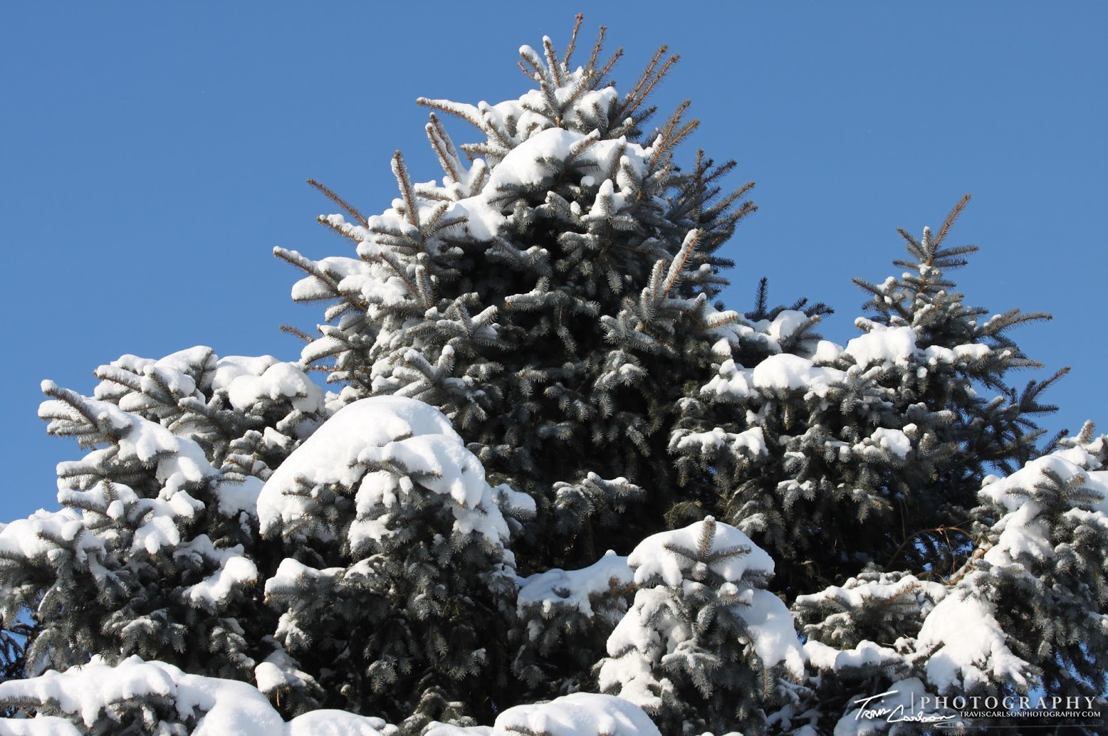
 Evergreen trees glistening in the blue sky
after the heavy snowfall
 Evergreen trees as if someone took a snow machine to them
 Snow-covered roads all across the area
 Got a few of these shots before the winds blew
all this fluffy snow everywhere
 Calm winds during the winter storm plus the large dendritesnowflakes helped the snow accumulate to everything
 Accumulated snow on the mailbox
 Still haven't took down any of the holiday decorations...
well who would during this arctic blast that has lasted for weeks?
 Set this shot up by trying to position myself so the sun
would back-lit the plant in the foreground
 The snow machine (Alberta Clipper)
 Wide-angle shot of the western horizon after the snowfall
 Snow-blasted again...
.JPG) Snowdrifts along this wooden-fence
Snowdrifts along this wooden-fence
Blue Jay in the backyard
4-wheeler in action plowing the driveway
...before the northwest winds kicked-in

after the heavy snowfall
all this fluffy snow everywhere
well who would during this arctic blast that has lasted for weeks?
would back-lit the plant in the foreground
Here are a couple wildlife shots I was lucky enough to grab while out photographing the winter storm below:


As far as the weather goes for the next few weeks it looks like we will finally be able to shake-off this cold spell and return to normal temperatures if not a tad above normal. I don't foresee any major snowstorms in the next week, but keep an eye out around the 24th of January (last week of January). Long-range models point to some type of a significant precipitation event near that type-period...