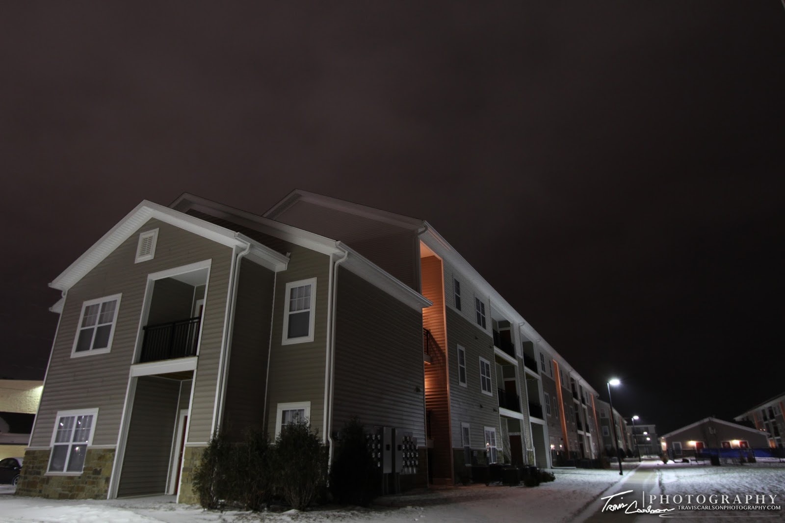
A little over a week ago, we officially received our first accumulating snow in Peoria, IL which was long overdue to say the least. We received a solid 4" inches here on the northwest-side of Peoria, IL. Other snowfall reports around the area can be found here from the ILX SWOP network. This wasn't a huge snowstorm, but the first decent snowfall of the year in this area as it has been a very warm winter in central Illinois. A radar loop of the winter storm system can be found here (large-file) from DVN. It will take a few minutes for that loop to load so I recommend opening it in a new window if you haven't already. Anyhow, I didn't find much to take photos of, but I managed as best as I could. This storm allowed me to test out my GoPro array of cameras for this spring. I have a total of three of them and another more "interesting" camera and setup slated to arrive in late-February just in time for the spring season. I've upgraded a lot of technology over the last few months in preparation for the upcoming spring season. This storm chaser and photographer loves his "toys"! I've added a few photos of the first winter storm of the season as well as some video below:
Initial snow accumulation of the
snow on the deck...
snow on the deck...
I've added a YouTube clip from my GoPro (above)...
That will wrap up this post. The 2012 tornado season already kicked off in the Deep South with several confirmed tornadoes across that region on January 22, 2011. Just the beginning to what may be another interesting severe weather season that will only start to ramp up over the next few months...


