

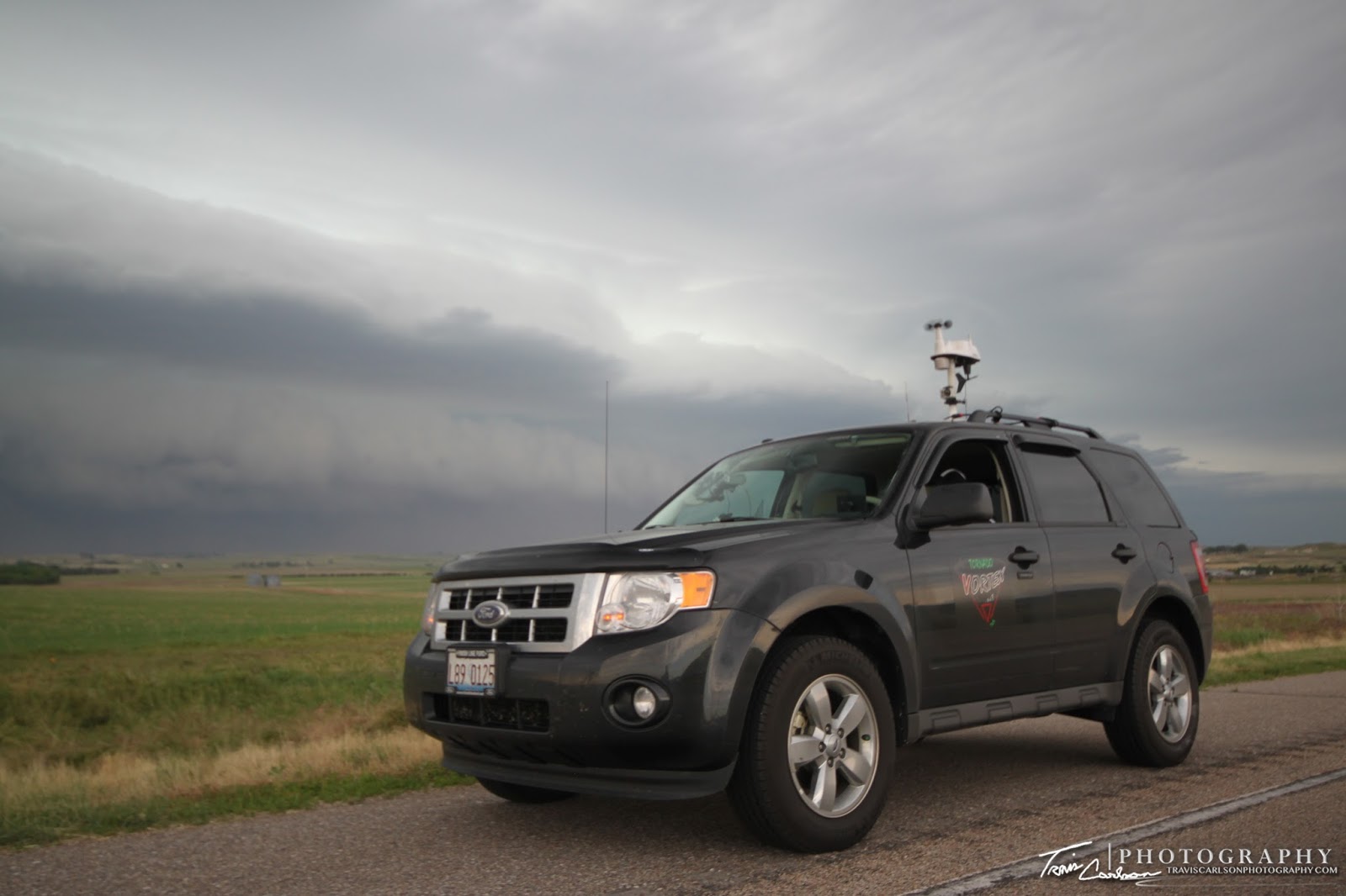
After an unexpected productive day the previous day. Thursday, (June 16) I made the long trip to the Great Plains to kick off several days of chasing severe weather as the weather pattern looked to become more and more favorable over the next few days. I believe I may have left around 4:00am that morning. It was quite an early start to the day nevertheless! I headed west on I-80 through Iowa and into Nebraska. My target for the day I believe was Sidney, NE if I remember right. This was my very first chase driving that far west and also my very first upslope-flow storm chase. I've never been able to partake on these chase days in the past since I'd rarely have enough time to stay out in the Great Plains for a prolonged period of time. In case you were wondering upslope-flow chase setups usually happen on a routine basis along the Front Range of the Rocky Mountains in CO and western NE. Due to orthographic lift and usually return-flow (SE winds pumping moisture into the region from the Gulf of Mexico). This area gets there fair share of storms in the spring and early summer. Add the fact you are close to the Rocky Mountains it doesn't take much to get storms to stretch vertically and produce some photogenic tornadoes, but as usual the conditions must all come together to do so. Anyhow, this was a more marginal day, however and I didn't expect much when it came to tornadoes. I expected some decent convection though. By early afternoon, I arrived in Sidney, NE seeing bright sunny skies as thunderstorms began to form over the mountains and began to drift southeast. The atmosphere was still relatively "capped" at this time so I sat in Sidney, NE for about an hour and got some good ole' Arby's for lunch. This area featured about 2,000J/kg of CAPE, 0-6km shear at 40kts, and rather limited low-level moisture with dew points 55-60°F. One thunderstorm came off the mountains shortly thereafter becoming severe to my northwest so I headed north on U.S. 385 toward the city of Bridgeport, NE. I sat just outside of town for a bit as this storm was becoming more and more severe. I got my first-view of this severe thunderstorm here. This storm was moving at a snail's-pace though at around 20mph allowing me to get set up for some time-lapse video as well. As the storm approached it was easily discernible that it was outflow dominate. This storm was not to be takin' lightly however, as it was producing some rather strong straight-line winds and even kicking up dust at one point creating its own dust storm for a period. As this storm began to overtake me I headed south to escape this storm and try my luck at its outflow boundary that would initiate convection a little later. It ended up being a good call as new storms formed along the remnant outflow boundary to the south. Here, I ended up chasing an outflow dominate supercell! This thing never got real close to producing a tornado, but provided some decent storm structure. Once darkness approached I called it a chase thereafter eventually getting a hotel at a Best Western in Kearney, NE. I've added photos and some time-lapse video of the chase day below:
blasted by dust from the storm's outflow...


You will find a lot of "Dead End's"
in western Nebraska...

in western Nebraska...
More and more dust being kicked-up
by this storm's outflow

by this storm's outflow
One last shot along U.S. 26 as I start to head south...

Here comes the whale's mouth!

If you thought Illinois was flat...

Storm highway?!

First view of the new severe thunderstorm beginning
to rotate with a daylight bolt (right)

to rotate with a daylight bolt (right)
Wide-angle view of the supercell along the dusty
western Nebraska landscape

western Nebraska landscape

Shot of the shelf cloud as the sun
begins to set on this chase day
begins to set on this chase day
I've added a YouTube time-lapse of the
severe thunderstorms I chased (above)
severe thunderstorms I chased (above)
My first upslope-flow chase turned out actually to be quite fun. I'll be doing more of these "type" of chases in the coming years now since I got my feet finally wet with these type of chase setups in the Great Plains...