

On June 06, I woke up early after rooming in Wall, SD and began a long drive to Colorado as it appeared this area would see a couple days of severe thunderstorms including supercells just east of the Colorado Front Range. I headed west along I-90 and then began to drop south just south of Rapid City, SD and paralleled the Black Hills Forest along SD Rt. 79. From here I kept driving south on U.S. 385 passing through Alliance, NE and Bridgeport, NE reaching Sidney, NE by noon. After analyzing the situation it seemed a nice surface low was forming over Denver, CO therefore I'd have to head farther southwest to get under the cyclone and near the Denver Convergence Vorticity Zone (DCVZ) where landspout tornadoes have a "habit" of forming. I ended up with a target near Fort Morgan, CO as it appeared this is where convective initiation would begin around mid-afternoon. This area was characterized by nearly 2,000J/kg of CAPE, 0-6km shear at 30kts, and dew points near 50°F. Convective initiation began shortly after 3:00pm to my northwest around Keota, CO. I began to head north on CO Rt. 71 to intercept this developing severe thunderstorm to get a good-view as it matured. I stopped outside Stoneham, CO to snap several photos and shoot some video as massive chaser convergence began to occur. This storm really looked rather pathetic though at this point and seeing many storms developing in this area where one storm couldn't become dominate wasn't getting me too excited. In other words, I had a choice to make head south for later development in the evening or head north back into Nebraska to intercept a nice supercell east of Cheyenne, WY that was looking rather impressive on radar. I made the call to ditch the storms in Colorado and blast north to catch an ongoing supercell instead. I caught up to this supercell as I pushed west on I-80 along the WY/NE border outside the town of Pine Bluffs, WY. This supercell had some nice mid-level rotation for a time and even featured a nice hang-me-down funnel for a brief time as well. I took some time-lapse video while snapping several photos on the outskirts of Pine Bluffs, WY. Once when it appeared storms from the southwest were going to cut off my view I shot back east on I-80 and called it a chase at sunset. I roomed at a Holiday Inn in Sidney, NE knowing I'd be chasing once again the following day in this area. I've added photos and some time-lapse video below:

creates a brief rainbow along I-90...

A beautiful shot of the Colorado landscape as

Another sign added to the collection!

Hay bales along the landscape with convection developing...

Portrait-shot of the updraft!

Another angle as this storm matures...

Chase vehicle (foreground) with convection
approaching (background)...

Along CO Rt. 14 outside Stoneham, CO before the
massive chase convergence...

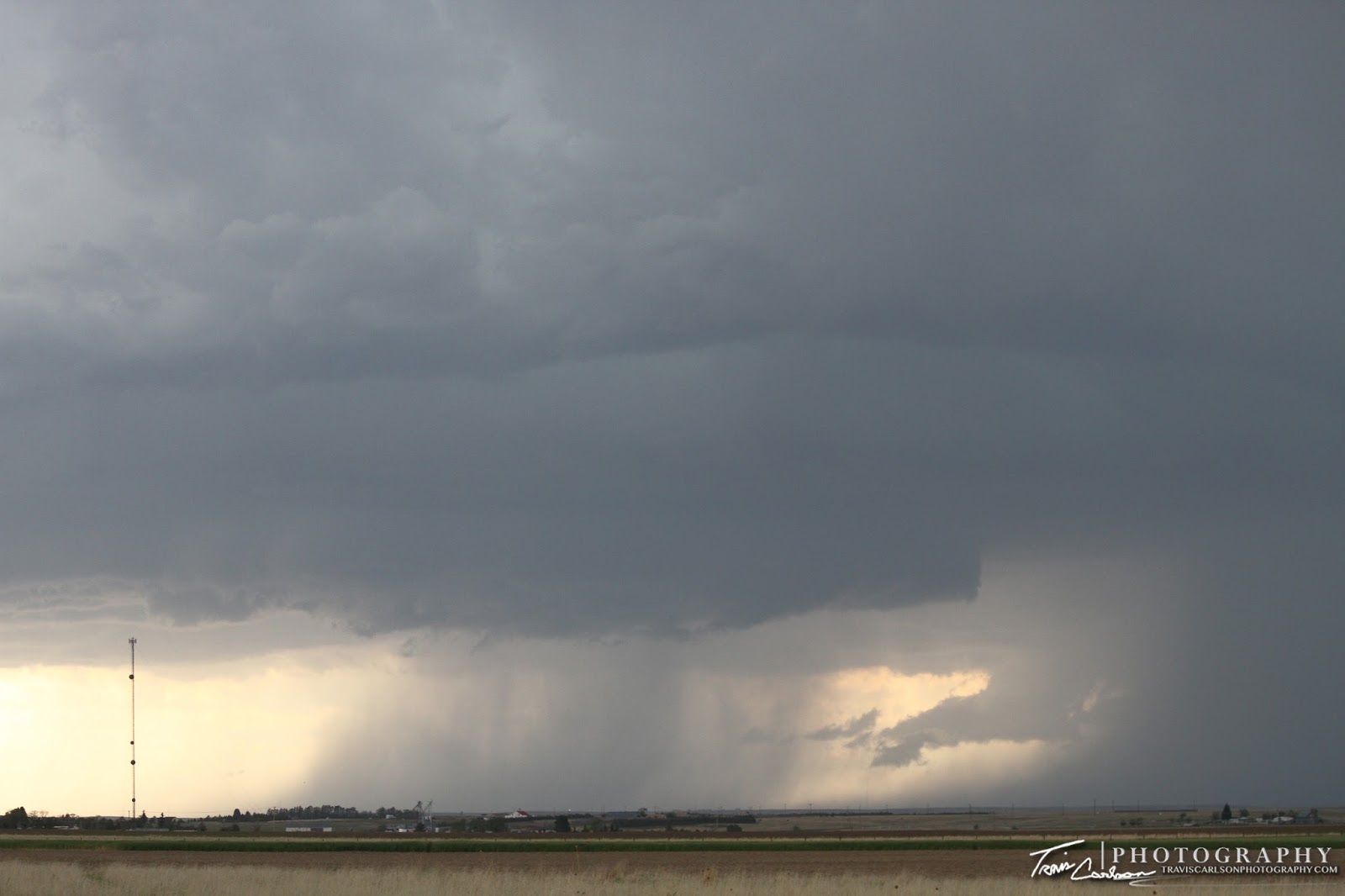
Base a few miles away, but fairly unorganized...

View from the north as it was time to ditch this storm!

And another sign...

Initial view of the supercell northwest of Pine Bluffs, WY!
Closer-view with a nice wet RFD
(Rear Flank Downdraft) present...

Wide-angle shot of the supercell trying to get
some low-level rotation!
Just not enough low-level rotation...argh!

One last wide-angle shot as I begin to lose my view due
to convection moving in from the southwest...
I've added a YouTube time-lapse (above)
That's all for right now. After this chase, I had one more chase day left in the central Great Plains before I headed back to Illinois early since their was no formidable severe weather in the near future unfortunately. I'll update with that post soon...