

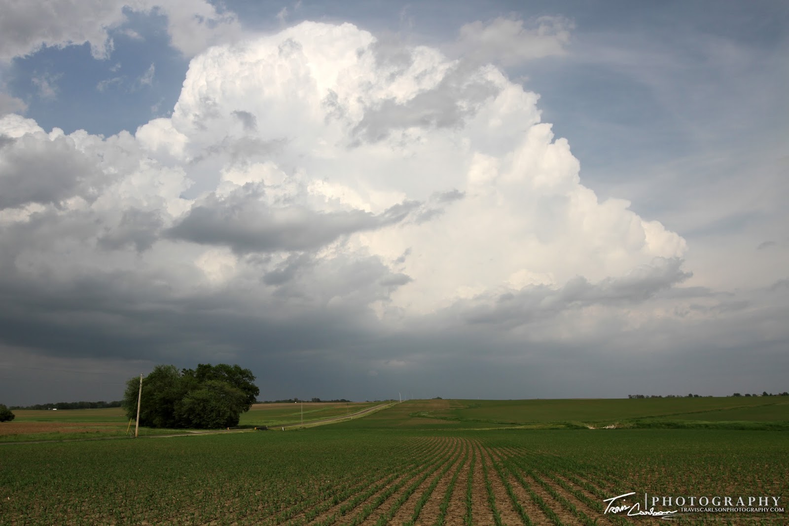
On May 21st, I decided to chase rather early on this chase day as a cold front pushed southeast into east-central Illinois. This day had some "hidden" potential as most storm chasers were already committed in Colorado. I wasn't quite ready to make a long trip out to Denver, CO so I decided I'd chase locally instead. By midday, I was already getting on the road heading south on I-55 with a target near Lincoln, IL. I wanted to position myself a little bit ahead of a cold front that was pushing southeast and give me a good road network. This area featured 3,000J/kg of CAPE, 0-6km shear increasing to 50kts, a supercell composite near 8, and a rather moist boundary-layer with dew points pooling along the front near 67°F. It could be a "surprise" kind of a chase day. Upon my arrival the cap already had eroded and convection began to explode just east of Lincoln, IL. These storms quickly developed and became severe with copious amounts of hail just like the day prior I chased. I tracked these severe thunderstorms as they pushed east. I ended up heading east on some paved country backroads to catch a high-based severe thunderstorm as it became a supercell as I drove east. It was at its strongest just north of Monticello, IL and southeast of De Land, IL. Most of the shots I took were during that time. It had a brief funnel on it while I was driving and trying to keep up. It tried one more time, but outflow wrapped around it which choked it off. The storm to its south didn't help things either not allowing it to ingest warm surface-based parcels at that point. I then headed west hoping for something more to initiate along the cold front, but nothing of consequence developed. That southern supercell produced some big time hail near Tuscola, IL that I couldn't catch seen here. Overall, though it was well worth the relatively short drive. I've added photos from the chase day below:


That's all for now. I ended up taking nearly a week long vacation to the Great Plains later in the month of May and early June and I'll update with those posts at a later date.