

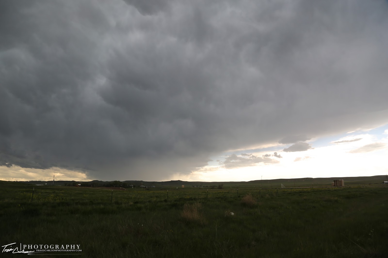
A picturesque supercell on the horizon at sunset near Scott's Bluff, NE
On May 31st, I decided to chase an upslope setup in Wyoming and far western Nebraska. After rooming the previous night in Wall, SD I headed west around 10:00am for a target along the Montana-Wyoming border near Broadus, MT. This area seemed to be rather "close" to the best potential for tornadic supercells on this chase day. Unfortunately, traveling that far north would put me out of position for the next chase day so I was very torn on this day. Give up the better looking setup in Montana and chase storms that would take me farther away from the next day's target or give Wyoming a try since it was much closer. After briefly crossing the Wyoming/Montana border and reevaluating in Broadus, MT I decided to drive back into Wyoming to chase. Another problem was that Montana also features internet data problems in some areas as well that I came across for the first time since up to this point I have never chased in Montana. Anyhow, I decided to drop back south on WY Rt. 59 and watch some initiating convection to my west and southwest along my route. I set up just north of Gillette, WY watching some nice high bases get organized into supercells. This convection was entering a more favorable environment featuring 2,000J/kg of CAPE, 0-6km shear increasing to 30kts, and a moistening boundary-layer to the east thanks to the upslope component with dew points near 52°F. After watching for an hour or two I decided that these storms didn't seem like they were gonna get the job done and tornado so I decided to head back into Nebraska hoping to catch some new development where some better low-level moisture resided. I headed east on I-90 and then dropped south on U.S. 16 and U.S. 85 before jumping on U.S. 26 in western Nebraska. I was enamored by the beautiful landscapes in this area as storms progressed toward my location. I stopped a few times to snap some shots of the outflow dominate convection and landscapes along my path. Once I pushed south and east out of the rain I found some towering cumulus building off to my east. I watched these towers blossom into quite a picturesque scene along the western Nebraska horizon at sunset. I couldn't catch up to this developing severe thunderstorm near Scott's Bluff, NE so I decided to photograph its backside which was eye-catching. I would later call it a night at sunset quite pleased once again with the photography aspect of this chase day. I would later room at a Best Western in Sidney, NE. I've added photos from the 4 states I crisscrossed during the day below:

My first venture into Montana!

"Big Sky Country"

A distant Montana classic supercell thunderstorm!

"Forever West"

High-based supercell near Gillette, WY
Anvil blow-off...

A Wyoming rotating updraft!

A beautiful Wyoming landscape with a storm moving in!

Looking "Forever West"!

A pronghorn stumbled into this shot signaling me that this storm is not too far away and it's about time to run to the car!

This particular updraft I watch develop into quite a storm at sunset!

Yep, it was just that kind of an evening!

Breath-taking!

I took several different angles, but I still can't decide which one I like the best, it's a tough call!

These are the storms you live to photograph!

Hey, Weather Channel...."It's amazing out there"!

Sunset begins, but still providing an array of color!

Here's a telephoto shot! (Canon 70-300mm telephoto-zoom lens)

One more...
Another superb day for photography. Tornadoes again continue to elude me this year, but I'll take the picturesque storms though. I also chased the next day on June 1st and I'll update with that post soon as well.