

A LP supercell forms during the mid-afternoon north of Quincy, IL
On June 28th, I decided to storm chase once again after viewing the weather models for a few days and seeing a potential "sleeper" northwest-flow setup that could include a few tornadoes. By early afternoon, I began to head southwest toward the Mississippi River. I sat just east of Keokuk, IA for a brief time re-evaluating the environment. I was targeting this area and points southwest along the Mississippi River. I chose to stay on the east of the river to avoid any river crossing issues while chasing during the afternoon and evening. The environment in this area was certainly primed for possible tornadoes with a shortwave trough moving into this area which would initiate severe thunderstorms along a nearby outflow boundary that was enhancing low-level wind shear. This area was characterized by 2,000J/kg of CAPE, 0-6km shear at 40kts, a supercell composite of 18, and a moist boundary-layer with dew points near 68°F. By mid-afternoon, thunderstorms began to form in a rapidly destabilizing environment in Missouri. By this time, I headed south along IL Rt. 96 toward Quincy, IL to intercept some supercells that had already developed and pushing east. At this moment, I got a great view looking south of a supercell just outside Ursa, IL. This was a LP (low-precipitation) supercell which allowed me take several photogenic photos of this supercell's structure. Around 3:30pm, this supercell nearly dropped a tornado while I was photographing its structure along the rural west-central Illinois landscape. After this "tornado attempt" It became more of a storm structure chase for myself as this storm seemed to be struggling to continue to ingest surface-based parcels as another supercell near Quincy, IL was impeding this supercell's organization. This was quite apparent to me after viewing the flanking-line struggling to gain upward vertical motion. If this supercell had just a tad more instability and upward vertical motion I have no doubt this would have possibly produced a tornado given the environment in this area. Nevertheless, I kept up with this LP supercell tracking it farther east near Mendon, IL where eventually it would meet its demise. Regardless, I was able to grab several spectacular images of this supercell's life-cycle from start to finish. I've added photos from this chase day below:
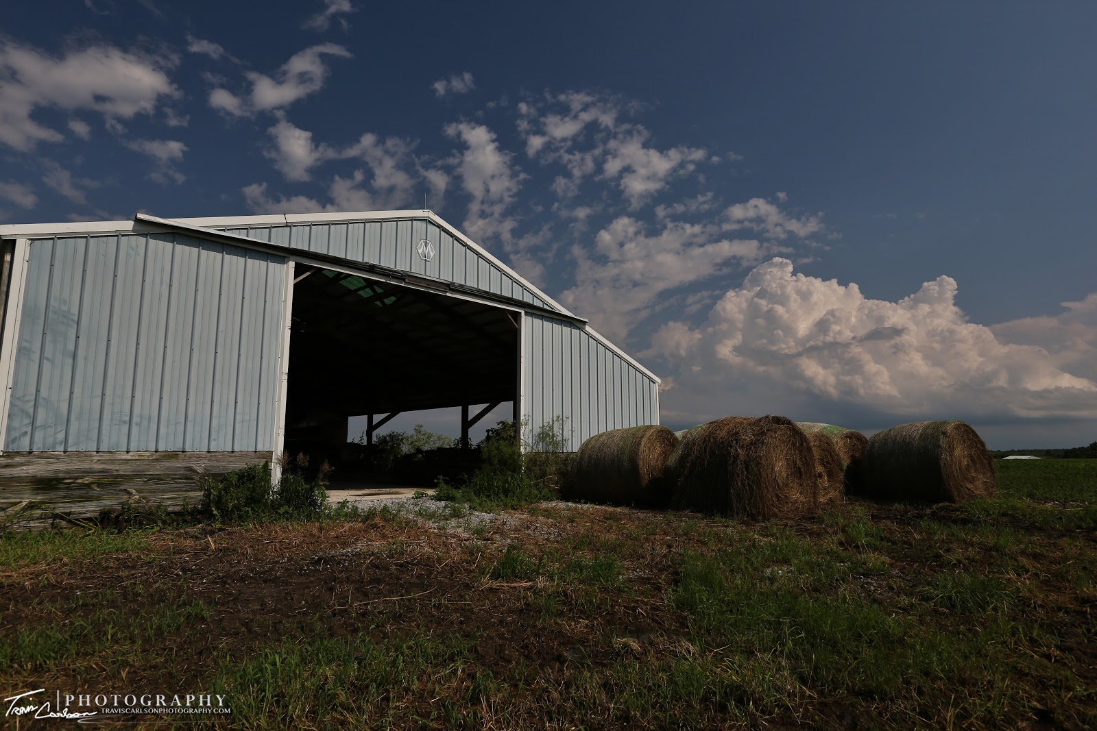


"Convection looms in the background of this barn"
Towering cumulus about to get interesting...
"Kaboom"

LP supercell wraps up producing this funnel cloud and nearly a tornado a couple miles south of Ursa, IL

A wide-angle shot of the supercell and funnel cloud!

Tornadogenesis nearly occurred here...

Orphan anvils from severe thunderstorms in northeast Missouri!

Rotating wall cloud!

Trying once again...

A beautiful shot!

A beautiful storm to photograph I'd say...

A great example of a supercell's tilted updraft!

Notice the flanking-line lacking vertical motion...probably why this storm didn't tornado!

I move farther east and snap this image of the Illinois countryside and the wall cloud!

A textbook image of a LP supercell!

Supercell beginning to weaken while providing another photogenic shot!

I love shooting storm landscapes!

Amazing!

"Supercell shriveling up"

The supercell meets its demise!
This was yet another great chase day for myself. I was able to view another photogenic supercell that kept me quite busy throughout the afternoon and evening in terms of photography. I'll update once again when I find some more time to photograph storms or work on some more photography in the coming days and months.